What is recorded here
Fairy fort / earthen ringfort in Garranmore (St. Patricksrock parish) is a fairy fort or earthen ringfort in Garranmore (St. Patricksrock parish), County Tipperary, Ireland. Not visible.
In improved pasture, on slightly raised area within low-lying landscape. Remains of oval area (dims. 27m N-S; 22m E-W) defined by levelled scarp (Wth 4-8m; H 0.3-0.65m) which is best defined S-E. Fosse (overall Wth 15.75m; basal Wth 4.75m; D 0.3m) SW-N. Interior is slightly uneven on surface. Scar of levelled field boundary respects monument N-SE. Land drain/stream is along near side of field boundary to S (long axis WNW-ESE), as depicted on latest edition OS 6-inch map.
Compiled by: Jean Farrelly
Date of upload: 26 August 2011
The monument record does not grant public access. Check the route and ask the landowner before entering private land.
- What survives
- Recorded monument
Places near here
 Burnt spread in GortmakellisBurnt spread · 483 yd
 Gortmakellis CastleCastle · 646 yd
 Enclosure in Newpark (ballysheehan Par.)Enclosure · 1153 yd
 Ballyknock HillMountain / peak · 1435 yd
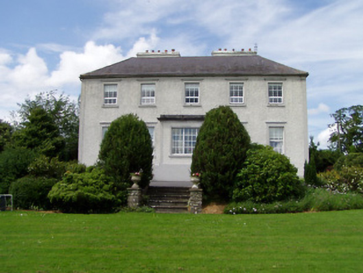 Dually Househouse · 1.1 mi
 Ballykelly Church (in Ruins)Church · 1.2 mi
 Castle in RuinsHouse, fortified house · 1.5 mi
 Cormac's ChapelHeritage attraction · 2.1 mi
 Rock of CashelHeritage attraction · 2.1 mi
 The Rock Of CashelVisitor information · 2.1 mi
 Black mulberryBlack mulberry · 2.2 mi
 Clonoulty HillMountain / peak · 6.6 mi