What is recorded here
Fairy fort / earthen ringfort in Garranmore (St. Patricksrock parish) is a fairy fort or earthen ringfort in Garranmore (St. Patricksrock parish), County Tipperary, Ireland. It is no longer visible on the ground, but an 1840 map drew an oval enclosure about 32 metres from northeast to southwest and 28 metres from northwest to southeast. A later survey described one bank and one backfilled ditch in very poor condition, while improved pasture, uneven ground and a working quarry to the north surround the site.
In improved pasture, on a SW-facing slope. No visible surface trace of monument. Ground uneven and undulating in area of monument and a poorly drained area is to N. Large-scale working quarry further to N. Depicted on 1840 edition OS 6-inch map as an oval enclosure (dims. c. 32m NE-SW; c. 28m NW-SE). According to Cahill (1982, R180), monument had one bank and one ditch, which was backfilled, and was very badly denuded and in a poor condition.
Compiled by: Jean Farrelly
Date of upload: 26 August 2011
The monument record does not grant public access. Check the route and ask the landowner before entering private land.
- What survives
- Recorded monument
Places near here
 Enclosure in Newpark (ballysheehan Par.)Enclosure · 713 yd
 Burnt spread in GortmakellisBurnt spread · 849 yd
 Gortmakellis CastleCastle · 921 yd
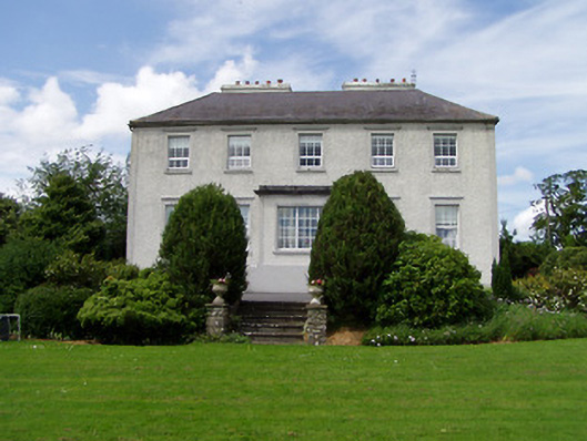 Dually Househouse · 1662 yd
 Ballykelly Church (in Ruins)Church · 1.0 mi
 Ballyknock HillMountain / peak · 1.1 mi
 Meldrum Castle (ruins)Castle · 1.6 mi
 Cormac's ChapelHeritage attraction · 2.3 mi
 Rock of CashelHeritage attraction · 2.3 mi
 The Rock Of CashelVisitor information · 2.3 mi
 Black mulberryBlack mulberry · 2.4 mi
 Clonoulty HillMountain / peak · 6.6 mi