
What is recorded here
Blake's Island vanished beneath Lough Rea by 1986, leaving only a buoy to mark where a rectangular patch of land once sat ninety-five metres from the shore. George Henry Kinahan suspected in 1862 that the submerged shape was a crannog, a defensible homestead built from timber and stone to keep unannounced visitors at bay. The water may have claimed the structure through settlement or rising levels, but the lake still holds the skeleton of a place designed to resist the world.
Blake's Island is recorded as a islet in County Galway. Its open map record supplies this location and any linked names or public references.
Places near here
 Enclosure in St LaurencesfieldsEnclosure · 949 yd
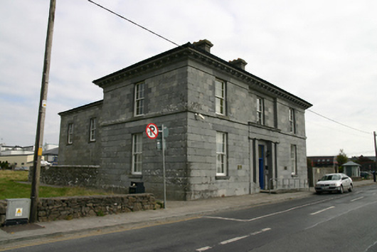 Loughrea Courthousecourt house · 1057 yd
 Barrack IslandIslet · 1057 yd
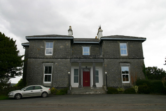 Coorheen Housecountry house · 1107 yd
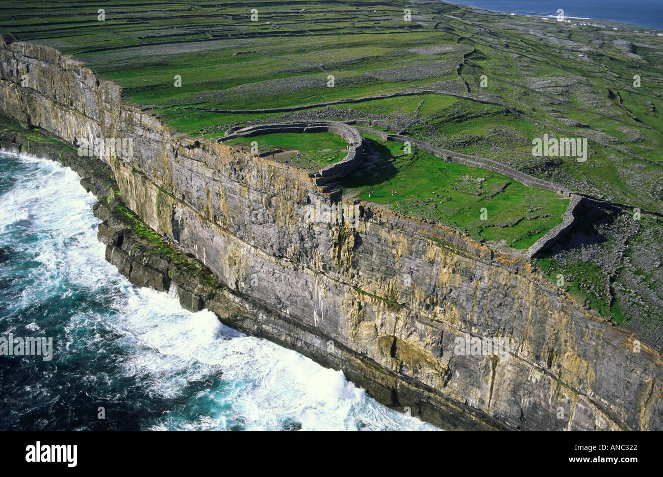 Long IslandIslet · 1154 yd
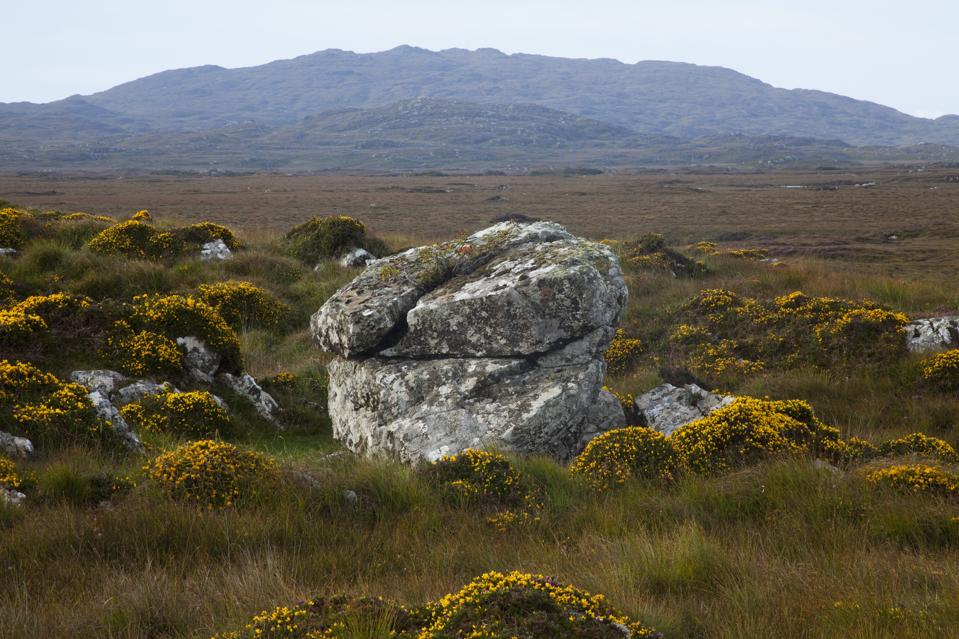 Mass-rock in CosmonaMass-rock · 1359 yd
 Long PointHeadland · 1.2 mi
 Site of Cloonoo CastleCastle, unclassified · 1.4 mi
 Raruddy Castle (in ruins)Castle, tower house · 1.7 mi
 Turoe StoneHeritage attraction · 4.2 mi
 Dartfield Horse MuseumHeritage attraction · 5.0 mi
 Scalpeen RockNamed rock · 5.1 mi
Other information
Photo: Credit not shown in the picture search · Rights wording not checked; contact us if this picture should be removed