What is recorded here
Caheravoley Fort is a circular earth ringfort in County Galway, built between the sixth and twelfth centuries to protect cattle and milk. Its Irish name, cathair dhá bhuaile, means circular fort of two milking-places, revealing that it was less a warrior stronghold than a working farmstead where animals were gathered safely from open pasture. The fort stands west of the River Clare, enclosed by a protective ditch and marked by a north entrance, while a hidden souterrain beneath the earth suggests people once stored milk, butter or treasure out of reach of thieves and weather. To walk its rim is to imagine hands churning in a small cabin, cows pulling at gates, and neighbours arguing over whose animal had broken through at dusk.
Caheravoley Fort is recorded as a archaeological place in County Galway. Its open map record supplies this location and any linked names or public references.
Places near here
 Cregboyne FortBawn · 2 yd
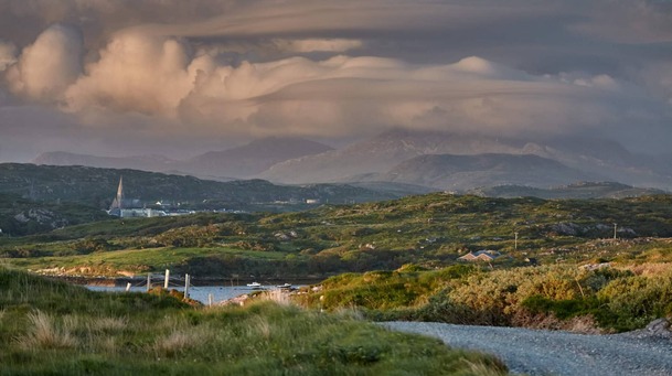 Field system in Caheravoley,kilcahillField system · 48 yd
 IndicatedHouse, indeterminate date · 407 yd
 Cathair InseFairy fort / ringfort · 475 yd
 St. Cathaldus Church (in ruins)Church · 1564 yd
 Castle (in ruins)Castle, tower house · 1.3 mi
 Cregg Castle DemesneForest · 3.3 mi
 European BeechEuropean Beech · 3.8 mi
 Kilcoona Round TowerHeritage attraction · 4.9 mi
 Mass RockNamed rock · 7.3 mi
 Oileán an AoilIsland · 7.6 mi
 Oileán an BhreathnaighIslet · 7.8 mi