What is recorded here
Half a millennium before Christ, hands stacked roundwood on the shore of Lough More and lined the gaps with moss to hold water for heat. They tossed stone into that wooden trough until it shattered into a kidney-shaped mound, then left the broken rock beside the lake. The water has since bitten through the west side, exposing the damaged timber and dragging part of the build into the bed. What remains is not a completed chamber but a human act made visible: measure, dig, line, stack, burn, abandon, and let the lake keep the difference.
Located on the NE shore of Lough More. This fulacht fia consists of a kidney-shaped mound (7.5m NE−SW; c. 4.5m NW-SE; max. H 0.52) composed of angular heat-shattered fragments of sandstone, conglomerate and limestone. Lake waters eroded part of the W side of the mound, exposing a damaged trough, and in 1992 a rescue excavation (92E01750) was carried out focusing on that side of the mound (McDermott 1995, 187-196). The excavation revealed that the trough was set in a depression dug into the underlying peat. The base of the depression was lined with a layer of bog myrtle leaves and, above that, a layer of moss. The E side (L 1.05m NE-SW; H 0.5m) and part of the N side (max L 0.8m NW−SE) of the trough survived in situ, and were constructed of roundwoods (diam. 6cm) horizontally laid, one on top of the other, and held in place with upright corner posts. Moss was found in the gaps between the lower timbers, perhaps used to make the trough watertight. Immediately to W of the fulacht fia mound, an irregular arc of upright stakes, is set in the lake bed. This feature could not be fully examined but it may be associated with the fulacht fia. Charcoal and charred wood fragments retrieved from the fulacht fia included ash, willow, alder, hazel and birch. Radiocarbon analysis of a timber sample produced a Bronze Age date of 1290-939 cal BC to 2 sigma (GrN 21260) (McDermott 1995, 190). There is another fulacht fia (MA059-013----) located on the lake shore c. 75m to SW.
Compiled by: Jane O'Shaughnessy
Date of upload: 2 November 2016
The monument record does not grant public access. Check the route and ask the landowner before entering private land.
- What survives
- Recorded monument
Places near here
 Bofeenaun Abbey in ruinsReligious house, Franciscan Third Order Regular · 1.0 mi
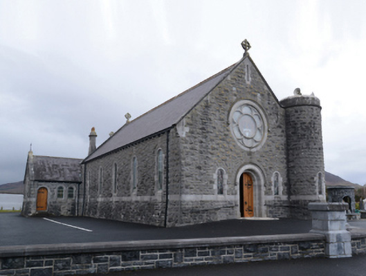 Saint Mary's Catholic Churchchurch/chapel · 1.1 mi
 Bush IslandIslet · 1.8 mi
 NephinMountain / peak · 2.4 mi
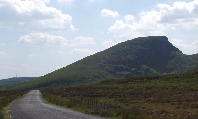 BurrenMountain / peak · 3.0 mi
 RaweedoonminnonFairy fort / earthen ringfort · 3.0 mi
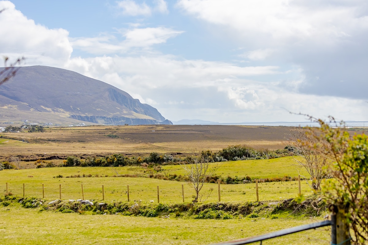 LisnagorpFairy fort / earthen ringfort · 3.3 mi
 Titanic Memorial ParkMemorial · 3.7 mi
 Ballyduffy CastleCastle, unclassified · 4.3 mi
 CastleCastle, unclassified · 4.8 mi
 IslandmoreIslet · 4.9 mi
 Grave of the KingsArchaeological place · 6.8 mi