What is recorded here
On level, extensively cleared and improved pastureland near N end of a narrow NE–SW valley between Turlough Hill and Slievecarran. A well-preserved classic horseshoe-shaped mound (12.4m N–S x 8.5m E–W; max. H 0.9m over ext. at S) open to the W, where a livestock watering pond occurs. Cattle poaching at S reveals burnt stone. A line of revetting stones runs across the top of the banks above the trough area to the N and S and across the mouth of the open W end, separating the trough area from the pond.
Compiled by: Mary Tunney and Ros Ó Maoldúin
Date of upload: 4 May 2021
The monument record does not grant public access. Check the route and ask the landowner before entering private land.
- What survives
- Recorded monument
Places near here
 Turlough HillMountain / peak · 1333 yd
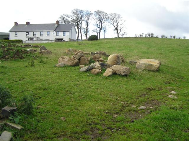 Enclosure in KnockycallananEnclosure · 1334 yd
 IndicatedEnclosure · 1544 yd
 Oughtmama Church (in ruins)Church · 1.3 mi
 Church (in ruins)Church · 1.3 mi
 Turlough CastleArchaeological place · 1.6 mi
 Grave of Saint Mac Duagh's ServantArchaeological place · 1.8 mi
 Castle Mael (in ruins)Castle, unclassified · 2.1 mi
 Corcomroe AbbeyVisitor information · 2.2 mi
 Corcomroe Abbey Geopark SiteVisitor information · 2.2 mi
 Battle of Lough Raskabattle · 2.4 mi
 Abbey HillMountain / peak · 2.9 mi