What is recorded here
Indicated is an arc-shaped earthen platform in County Mayo, measuring 26 metres north-south and 33 metres east-west. A stone field fence cuts across its west side, while a low scarp defines the levelled northern edge. The site sits on an east-facing pasture slope, possibly marking a forgotten ringfort where people once lived beneath the open sky.
In pasture, on E-facing slope. Arc-shaped platform (26m N-S; 33m E-W), levelled on N, defined by low scarp. Stone field fence bisects W side of site. Bank levelled. Possibly a ringfort.
The above description has been derived from D. Lavelle (compiler), An Archaeological Survey of Ballinrobe and District including Lough Mask and Lough Carra. Lough Mask and Lough Carra Tourist Development Association (1994), No. 358.
Date of upload: 22 December 2014
The monument record does not grant public access. Check the route and ask the landowner before entering private land.
- What survives
- Recorded monument
Places near here
 IndicatedFairy fort / earthen ringfort · 654 yd
 Enclosure in Frenchbrook SouthEnclosure · 719 yd
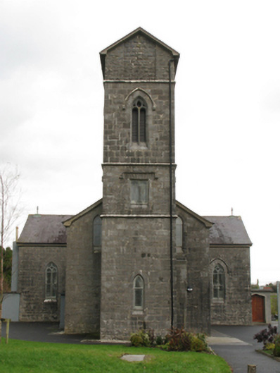 Saint Patrick's Catholic Churchchurch/chapel · 812 yd
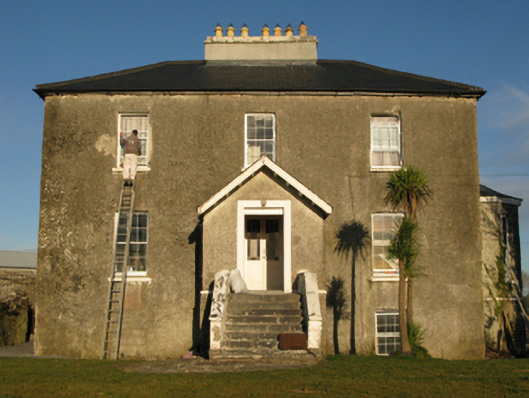 rectory/glebe/vicarage/curate's houserectory/glebe/vicarage/curate's house · 1159 yd
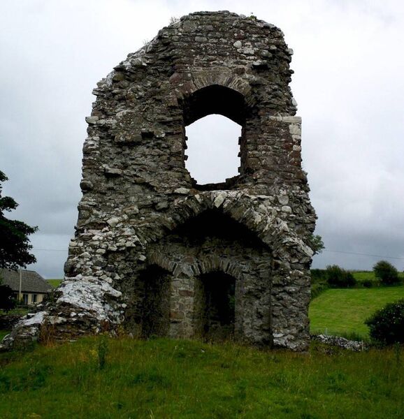 Castle in ruinsCastle, unclassified · 1455 yd
 Bawn in Cregduff (kilmaine By., Kilmainemore Par.)Bawn · 1505 yd
 European YewEuropean Yew · 3.3 mi
 Cregg PlantationForest · 3.8 mi
 LabbadermotCave · 5.2 mi
 Gibbs IslandsIslet · 5.4 mi
 Easter IslandIslet · 5.9 mi
 Ross Errilly FriaryHeritage attraction · 6.8 mi