
What is recorded here
In a coniferous plantation, on a SW-facing slope. According to the landowner a spread of burnt material (c. 15m x c. 30m) was revealed when the area was prepared for planting.
Compiled by: Denis Power
Date of upload: 26 August 2011
The monument record does not grant public access. Check the route and ask the landowner before entering private land.
- What survives
- Recorded monument
Places near here
 Foynes IslandIsland · 125 yd
 Battery PointHeadland · 786 yd
 Ardanoir Househouse · 794 yd
 Gammarel PointHeadland · 806 yd
 Foynes Island ViewpointViewpoint · 837 yd
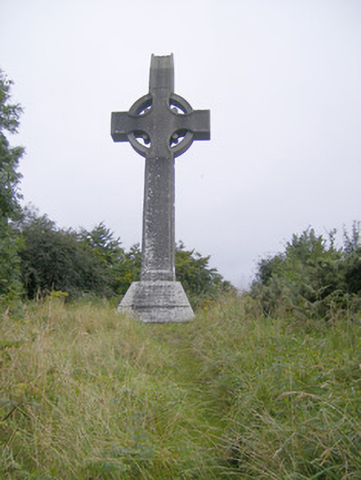 Spring Rice Monumentmonument · 888 yd
 Foynes Flying Boat & Maritime MuseumMuseum · 1144 yd
 St. Patricks SeatRitual site, holy/saint's stone · 1.8 mi
 Enclosure in KnockpatrickEnclosure · 1.8 mi
 Monterey CypressMonterey Cypress · 2.1 mi
 Robertstown Castle (in ruins)Castle, tower house · 2.2 mi
 Castle (in Ruins), Castle FarmBawn · 2.4 mi
Other information
Photo: Credit not shown in the picture search · Rights wording not checked; contact us if this picture should be removed