What is recorded here
In County Armagh, a lone boulder sits unmarked except in folklore records, its age and purpose uncertain. People may have gathered there to tell stories, drop offerings, or simply rest in its shadow. The stone remains steady while human memory fades around it.
The official Northern Ireland record identifies this as FOLKLORE SITE - boulder. Recorded period: UNCERTAIN. The official map point was placed at the centre of the recorded archaeological site from the source map reference.
The monument record does not grant public access. Check the route and ask the landowner before entering private land.
- What survives
- Recorded monument
Places near here
 Monaghan WayWalking route · 1.0 mi
 ENCLOSURE in CrossbaneENCLOSURE · 1.7 mi
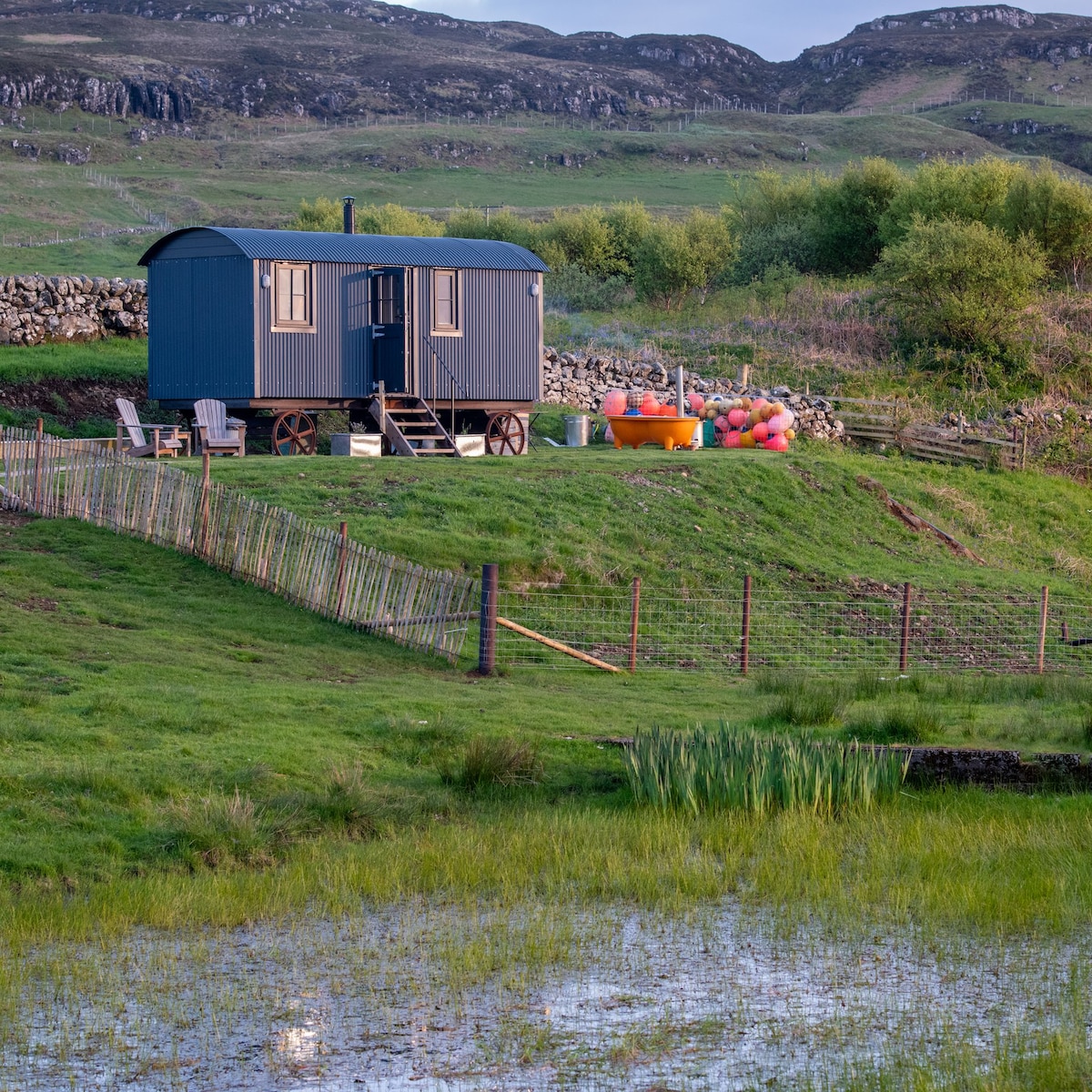 Hut site in AnnagloghHut site · 1.7 mi
 McKelvey's Grove Presbyterian Churchchurch/chapel · 2.1 mi
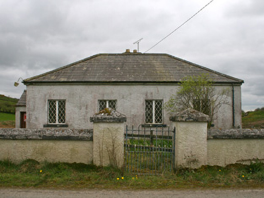 Drollagh Church (Muckno)school · 2.1 mi
 Keady MonumentMemorial · 3.1 mi
 Keady GlenForest · 3.2 mi
 Mullyash MountainMountain / peak · 3.3 mi
 Battle of ClontibretBattlefield · 4.0 mi
 Fews ForestForest · 5.0 mi
 CarrigatukeMountain / peak · 5.0 mi
 Tullyvallen Orange Hall massacremassacre · 5.4 mi