What is recorded here
Indicated is a stone ringfort in County Limerick, Ireland. A dry wall encloses slightly raised pasture, with a narrow east-northeast gap and a modern bungalow beside its north edge. The interior has become dense with briars, hiding whatever the fort first held.
In level pasture. Slightly raised circular area (27.5m N-S; 25.4m E-W) enclosed by a dry-stone wall (H 1.1m; Wth base 1.8m), best preserved on N side. Gap in wall (Wth 1.05m) at ENE. Interior covered with briars and scrub. Recently built bungalow stands immediately outside enclosing wall to N.
Compiled by: Denis Power
Date of upload: 26 August 2011
See attached ASI aerial photographs ASIAP – taken on 04/03/2006.
The monument record does not grant public access. Check the route and ask the landowner before entering private land.
- What survives
- Recorded monument
Places near here
 Church (in Ruins)Church · 892 yd
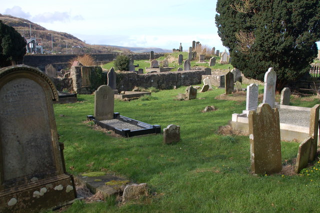 Grave YardGraveyard · 904 yd
 Bawn in FinniterstownBawn · 1089 yd
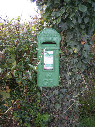 post boxpost box · 1381 yd
 Fulacht fia in FinniterstownFulacht fia · 1.1 mi
 Flat cemetery in Kiltenan SouthFlat cemetery · 1.2 mi
 Garraunboy CastleCastle · 1.3 mi
 GinkgoGinkgo · 2.2 mi
 Kinnoor WellSpring · 2.2 mi
 European YewEuropean Yew · 2.2 mi
 Dysert AenghusaHeritage attraction · 2.9 mi
 Biodiversity in the Maigue CatchmentVisitor information · 4.0 mi