What is recorded here
Four polished stone axes and a possible cist burial emerged together in Ballystokes, County Down, during the PREHISTORIC period. The cluster suggests people valued the site enough to place tools and perhaps a dead person within it, rather than scatter them across ordinary ground. The stones may have served the living, marked a boundary, or accompanied someone into darkness.
The official Northern Ireland record identifies this as FINDSPOT of 4 POLISHED STONE AXES & possible CIST BURIAL. Recorded period: PREHISTORIC. The official map point was placed at the centre of the recorded archaeological site from the source map reference.
Neolithic findspot, dating to the earlier prehistoric period, associated with polished stone axes and a possible cist burial. It reflects early farming communities and ritual practices in the region.
The monument record does not grant public access. Check the route and ask the landowner before entering private land.
- What survives
- Recorded monument
Places near here
 St Patrick's StatueMemorial · 873 yd
 ABBEY; GRAVEYARD; MORTUARY HOUSES; COFFIN LID etc. : SAUL ABBEY in SaulABBEY; GRAVEYARD; MORTUARY HOUSES; COFFIN LID etc. : SAUL ABBEY · 1.0 mi
 Historic Settlement: Raholp in Ballintogher; RaholpHistoric Settlement: Raholp · 1.0 mi
 CASTLE (unlocated) in SaulCASTLE (unlocated) · 1.1 mi
 ENCLOSURE? possibly natural in BallintogherENCLOSURE? possibly natural · 1.2 mi
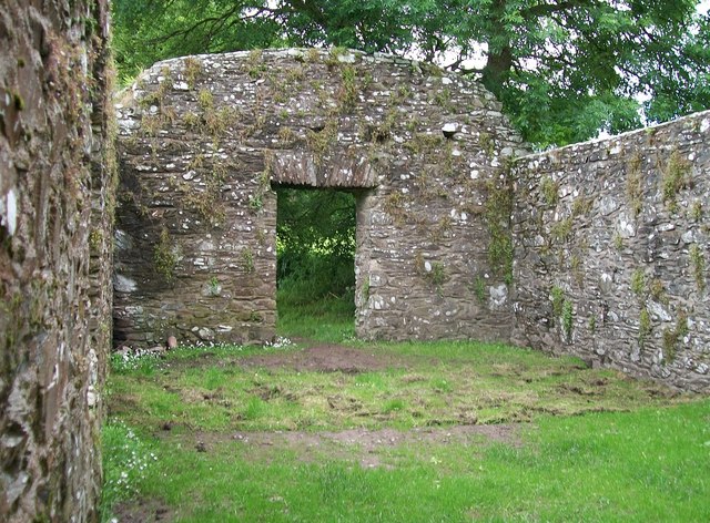 CHURCH, HOLY WELLS & BATH HOUSES: STRUELL WELLS in StruellCHURCH, HOLY WELLS & BATH HOUSES: STRUELL WELLS · 1.3 mi
 Struell WellsRuins · 1.3 mi
 St Patrick's WayWalking route · 1.4 mi
 Quoile PondageVisitor information · 1.8 mi
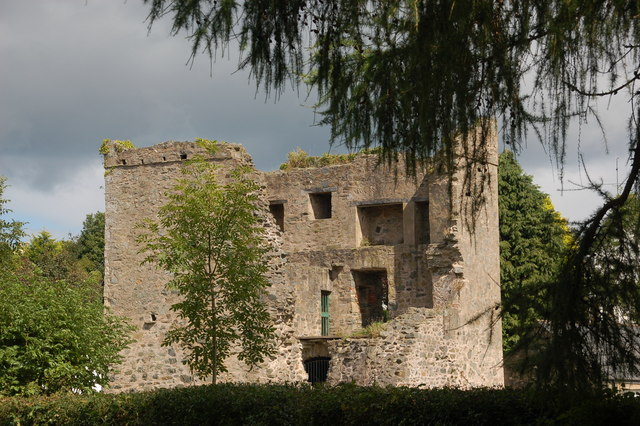 TOWER-HOUSE: QUOILE CASTLE in QuoileTOWER-HOUSE: QUOILE CASTLE · 1.9 mi
 Downshire Hospital Highway to HealthWalking route · 1.9 mi
 Ringmore BayBay · 2.2 mi