What is recorded here
Reenmeen West preserves curved stone field boundaries emerging from shallow cutaway bog north of Glengarriff, marking a lost landscape of pastures, rituals or both. The upright slabs still stand beside a standing stone and radial cairn, suggesting people shaped this ridge long before the bog swallowed most of their work.
In rough grazing, on an area of cutaway bog at the S end of a ridge, to the N of Glengarriff village. Stretches of relict, mainly curvilinear, stone field boundaries (T 0.6m; H 0.4m) protrude intermittently from the remaining shallow bog throughout a roughly square area (c. 150m N-S; c. 140m E-W) to the N of a standing stone (CO090-008001-) and a radial-stone cairn (CO090-008002-). Most of the upright stone slabs are set at right angles to the line of the walls.
The above description is derived from 'The Archaeological Inventory of County Cork. Volume 5' (Dublin: Stationery Office, 2009).
Date of upload: 22 December 2009
The monument record does not grant public access. Check the route and ask the landowner before entering private land.
- What survives
- Recorded monument
Places near here
 CairnCairn, radial-stone cairn · 112 yd
 Man-made underground passage in CarrigrourMan-made underground passage · 229 yd
 Tasmanian bluegumTasmanian bluegum · 1196 yd
 Glengarriff Eccles Hotelhotel · 1238 yd
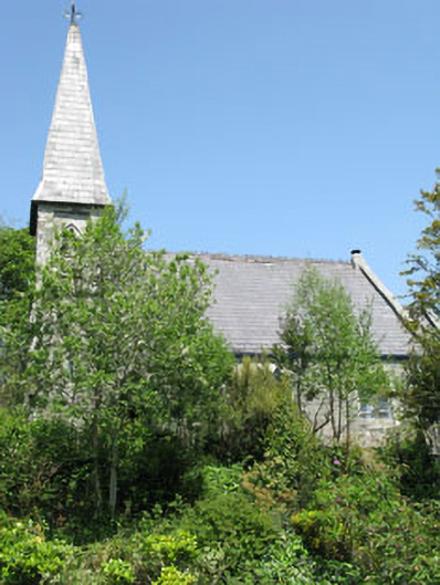 The Old Church Caféchurch/chapel · 1365 yd
 The Blue PoolHeritage attraction · 1615 yd
 Graveyard in CappyaughnaGraveyard · 1655 yd
 Friars IslandIslet · 1750 yd
 Calf IslandIslet · 1.0 mi
 Lady Bantry's LookoutViewpoint · 1.2 mi
 Glengarriff WoodsWood · 1.5 mi
 Bryce HouseMuseum · 1.7 mi