What is recorded here
High on the E slopes of Cahernageeha, at the head of a tributary of the Coomnahorna river valley. In rough wet pasture, the ruined remains of a subcircular hut defined by a double row of uprights (KE106-020----). Possible entrance at W. D: 3.3m x 2.8m. T: .9m. A stone-revetted rectangular platform, 4.6m x 2.4m, abuts the S side of the hut. The ruined remains of a subcircular hut, 30m to SW. D: 3.6m x 3.2m.
Old field walls KE106-020001- are visible in the near vicinity.
The above description is derived from A. O'Sullivan and J. Sheehan (compilers), 'The Iveragh peninsula: an archaeological survey of South Kerry'. Cork University Press (1996), no. 1221. In certain instances the entries have been revised and updated in the light of recent research.
Date of upload: 31 July 2013
The monument record does not grant public access. Check the route and ask the landowner before entering private land.
- What survives
- Recorded monument
Places near here
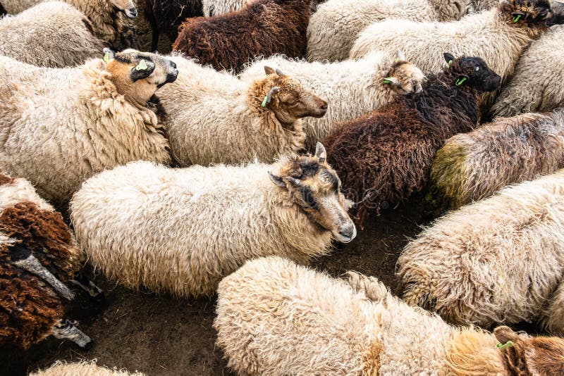 SheepfoldHut site · 17 yd
 Cahernageeha MountainMountain / peak · 519 yd
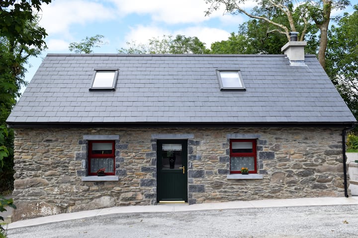 Hut site in Com Na Heorna ThoirHut site · 1217 yd
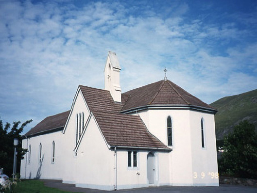 Saint Crohan's Catholic Churchchurch/chapel · 1.4 mi
 An Bheann MhórMountain / peak · 1.5 mi
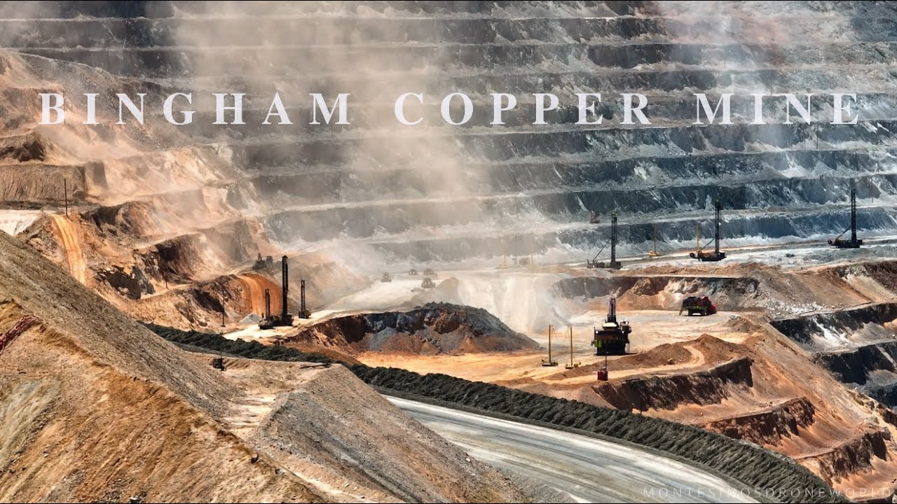 MineMine, copper · 1.6 mi
 Ogham StoneVisitor information · 1.7 mi
 Derrynane House / Teach Dhoire FhionáinHeritage attraction · 1.9 mi
 Páirc Náisiúnta Stairiúil Dhoire Fhíonáin / Derrynane National Historic ParkNature reserve · 2.0 mi
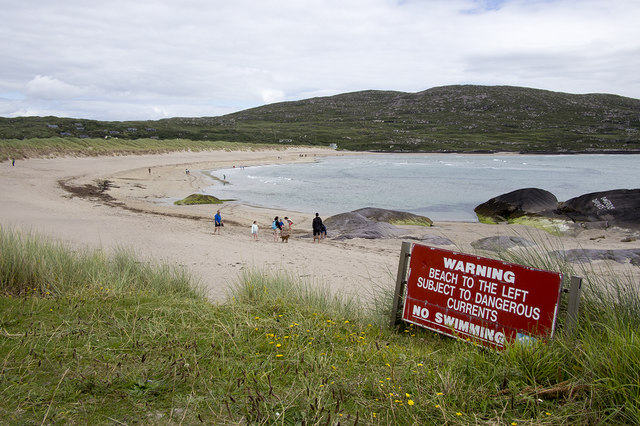 Derrynane Beach / Trá Doire FhíonáinBeach / strand · 2.2 mi
 Trá An Ráth / Rath BeachBeach / strand · 2.3 mi
 Com An ChisteViewpoint · 2.5 mi