What is recorded here
A map of Fethard by Redmond Grace (O’Keeffe 2003, map 5), dating from 1708, provides a key which identifies three almhouses in the town associated with the medieval parish church (TS070-040001-). This includes, 'The poor house' indicated as the large building (TS070-040003-) on the main street, 'The widows house on the town wall near the church' indicated as the building (TS070-040011-) immediately S of the town wall and 'The poorhouse in the church yard' which, though numbered, is not indicated on the map. No other source refers to an almshouse within the church/graveyard (TS070-040031-). O'Reilly (2007, 234) speculates that this may have been the Hospital of the Holy Trinity referred to in the Irish patent rolls of James I (dating to 1611) as having a charter, though this could also refer to the almshouse on the main street which backs onto the church yard. The third almshouse is not indicated on the later 1752 maps of the town. It is unlocated within the graveyard.
Compiled by: Jean Farrelly
Date of upload: 4 March 2015
The monument record does not grant public access. Check the route and ask the landowner before entering private land.
- What survives
- Recorded monument
Places near here
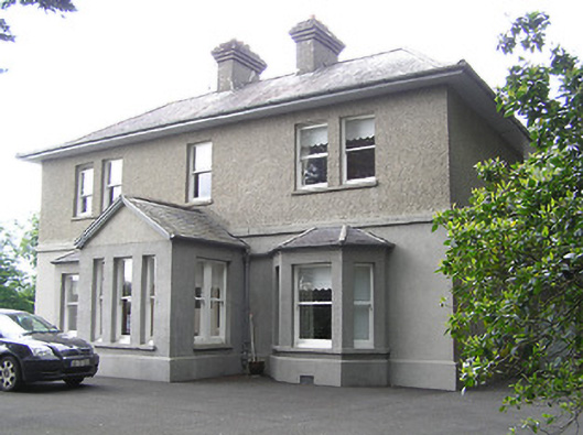 The Presbyterypresbytery/parochial/curate's house · 296 yd
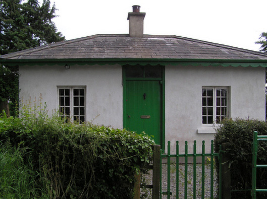 Fethard Rectorygate lodge · 440 yd
 Enclosure in FethardEnclosure · 478 yd
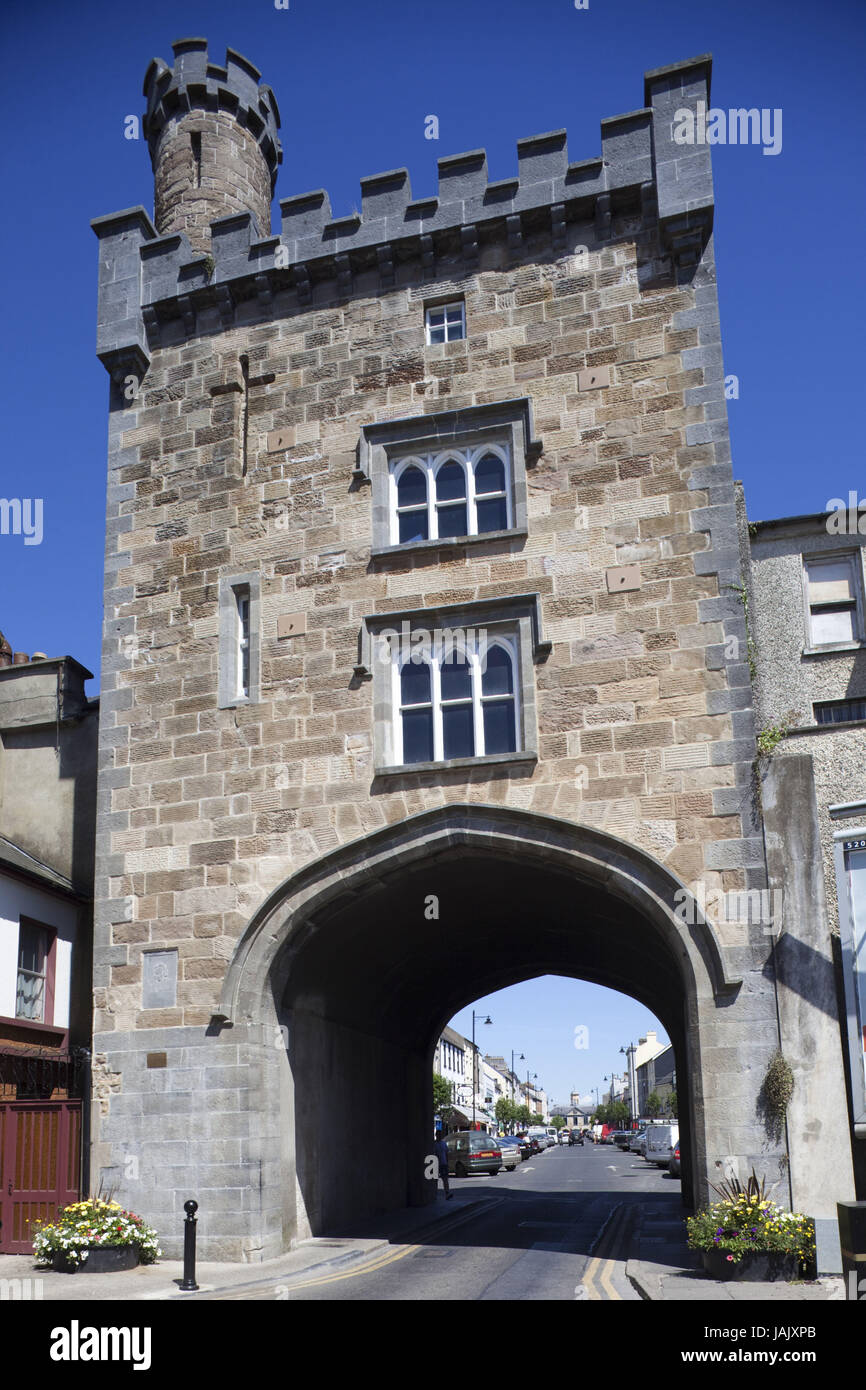 Pierce's GateArchaeological place · 540 yd
 East GateMemorial · 662 yd
 Court CastleCastle · 666 yd
 Edmond's CastleCastle · 693 yd
 European YewEuropean Yew · 697 yd
 Kilknockan HillMountain / peak · 1489 yd
 Grove WoodForest · 1.5 mi
 CarrigdotiaMountain / peak · 4.5 mi
 Hore AbbeyHeritage attraction · 9.1 mi