What is recorded here
In rough gorse-covered grazing, on the lower SE-facing slopes of Sliabh an Iolair and overlooking Dingle Bay. Indicated as an embanked enclosed area (diam. c. 60m) on the 1895 OS 6-inch map. Most of the enclosure is obscured by gorse and no evidence of an enclosing element could be seen. Surface stones occur intermittently within the enclosure.
The monument record does not grant public access. Check the route and ask the landowner before entering private land.
- What survives
- Recorded monument
Places near here
 Irish Famine CottagesMuseum · 269 yd
 Cross in FánCross · 281 yd
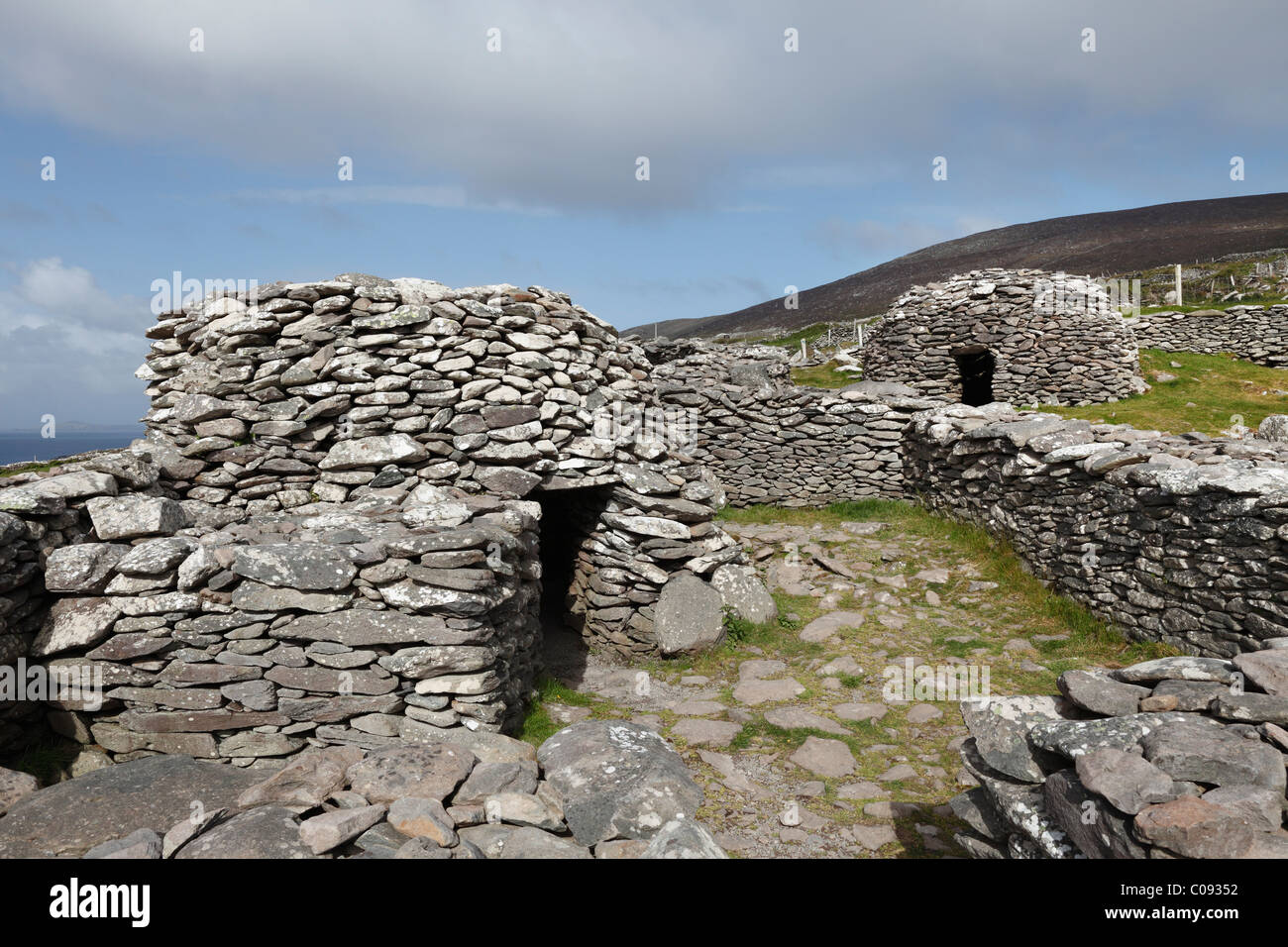 Hut site in FánHut site · 290 yd
 Dunbeg FortHeritage attraction · 596 yd
 Sliabh an IolairMountain / peak · 1.1 mi
 Binn an ChomaMountain / peak · 1.2 mi
 Church in Cill Ura ThoirChurch · 1.6 mi
 Ceann SléibheHeadland · 1.8 mi
 Ventry Church (in ruins)Church · 1.8 mi
 Traigh an ChomaBeach / strand · 2.1 mi
 Faill BearnaiscCliff · 2.1 mi
 Trá Ciarán BeachBeach / strand · 2.3 mi