What is recorded here
Fairy fort / stone ringfort in Sroove is a fairy fort or stone ringfort in Sroove, County Sligo, Ireland. The surviving structure contains a man-made underground passage in the north half and two stone heaps defining a sunken area in the northeast quadrant. These features remain visible inside the circular enclosure on the slope overlooking Lough Gara.
In pasture, on a S-facing slope overlooking Lough Gara. A roughly circular area (35m N-S; 33.5m E-W) enclosed by an inner sod-covered drystone wall, an intervening fosse and an outer earth and stone bank. The inner wall (max. Wth 2m; H 1.6m) is evident all round though not of uniform width suggesting some rebuilding especially NE-ESE (Wth 1.4m). In places, most noticeably N-NE, the external face of the wall has collapsed outwards. There are narrow gaps in the wall at W (Wth 0.4m) and NE (Wth 0.6m). The outer enclosing element consists of a stony scarp (H 0.4m) N-NE, a bank (Wth 3m; int. H 0.25m; ext. H 0.4m) NE-S and a slight rise (Wth c. 2m) marked by bushes and ferns S-W. There are no visible remains of the outer bank or fosse W-N. The intervening fosse, which is evident N-W, is not noticeably sunken anywhere and from N-NE is a stony terrace (Wth c. 1.4m) covered by a surface spread of stone tumble and E-ESE is a level grassy strip (Wth 4m) marginally higher than the external ground level. The interior is mostly level and dotted with clumps of ferns, brambles and bushes and a moderate scattering of loose stones. The NW quadrant is slightly raised and defined by a slight scarp (H 0.3m) on NNE-SSW axis. In the NE quadrant, two roughly linear heaps of loose stones, at right angles to each other, generally define an area (c. 9m N-S; 9m E-W) of slightly sunken ground. Immediately to S, and just E of the centre of the cashel, is a roughly oval cairn (3m N-S; 4.6m E-W; max. H 0.9m) with a further linear concentration of stones (3.8m NNW-SSE; Wth 1.3m; H 0.3m) extending north-westwards from it. There is a Man-made underground passage (SL046-018003-) in the N half of the interior.
The above description is derived from the published 'Archaeological Inventory of County Sligo' compiled by Ursula Egan, Elizabeth Byrne, Mary Sleeman with Sheila Ronan and Connie Murphy (Dublin Stationery Office, 2005).
Date of upload: 18 January 2008
This remains an important historical record, but the official description says the monument is no longer visible or has been destroyed. The monument record does not grant public access. Check the route and ask the landowner before entering private land.
- What survives
- No visible remains or recorded as destroyed
Places near here
 Enclosure in TawnymucklaghEnclosure · 130 yd
 Indicated (1838).Fairy fort / stone ringfort · 429 yd
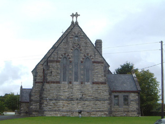 Saint Aidan's Catholic Churchchurch/chapel · 568 yd
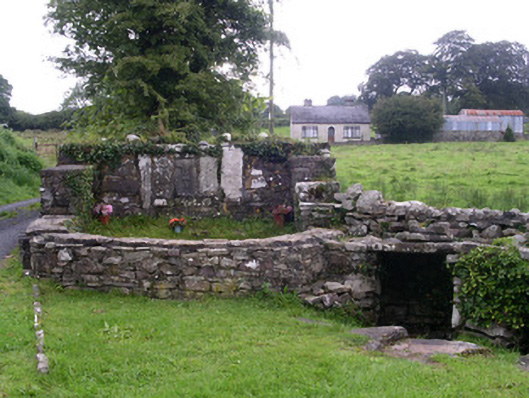 Saint Attracta's Wellholy well · 1730 yd
 Crow IslandIslet · 1.8 mi
 Moygara CastleCastle · 1.9 mi
 Moygara Castle (in Ruins)Bawn · 1.9 mi
 Castle PointHeadland · 2.0 mi
 Inch IslandIslet · 2.2 mi
 Rose PointHeadland · 2.2 mi
 Bockagh HillMountain / peak · 4.9 mi
 Square WoodForest · 5.2 mi