What is recorded here
An unnamed man might have built the cashel, but the land has kept its own version of the story. The field cut through the ring and the trees closed over the stones, yet the inner wall still marks the shape of a life that no longer speaks. What is missing has not stopped the place from holding its form.
In level farmland. Poorly preserved circular cashel (diam. 23.5m) defined by a collapsed drystone wall that is almost completely obscured by trees and bushes. A field boundary cuts across the monument from WSW to SSE. Within the centre of the interior another collapsed wall running NW-SE is visible.
Compiled by: Galway Archaeological Survey, UCG
Date of upload: 13 April 2018
The monument record does not grant public access. Check the route and ask the landowner before entering private land.
- What survives
- Recorded monument
Places near here
 Mine in CaherglassaunMine · 666 yd
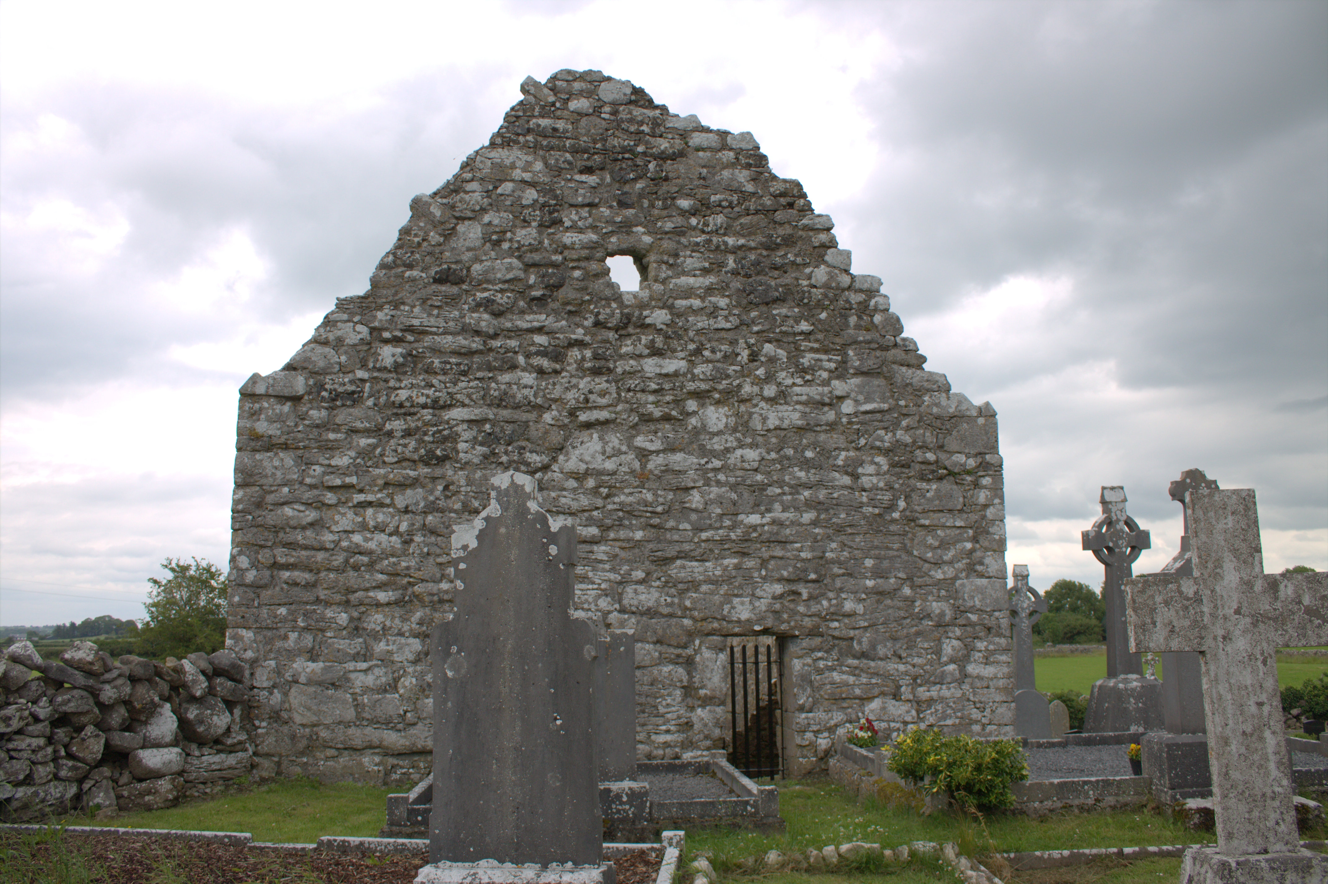 Killomoran Church (in ruins)Church · 695 yd
 Enclosure in CaherglassaunEnclosure · 1000 yd
 IndicatedFairy fort / earthen ringfort · 1061 yd
 Castle in ruinsCastle, unclassified · 1373 yd
 Coole-Garryland Nature ReserveNature reserve · 1.6 mi
 Coole ParkWood · 2.1 mi
 Cahererillan CastleCastle · 2.2 mi
 Kilmacduagh Monastic SiteVisitor information · 3.5 mi
 Kilmacduagh MonasteryHeritage attraction · 3.6 mi
 Mulroney's IslandIslet · 4.4 mi
 Grave of Saint Mac Duagh's ServantArchaeological place · 4.6 mi