What is recorded here
Cahermore holds a broken stone ring on a ridge slope, large enough to walk through but no longer strong enough to keep anyone out. The wall has collapsed into a shallow circle, yet the shape still suggests a house, a boundary, or a small defensible world. Maybe it was a farm, maybe a fortress, maybe a place people avoided because the stones refused to explain themselves.
On SW-facing slope of a ridge. Poorly preserved almost circular cashel (24m N-S; 23m E-W) defined by a collapsed drystone wall.
Compiled by: Galway Archaeological Survey, UCG
Date of upload: 13 January 2017
The monument record does not grant public access. Check the route and ask the landowner before entering private land.
- What survives
- Recorded monument
Places near here
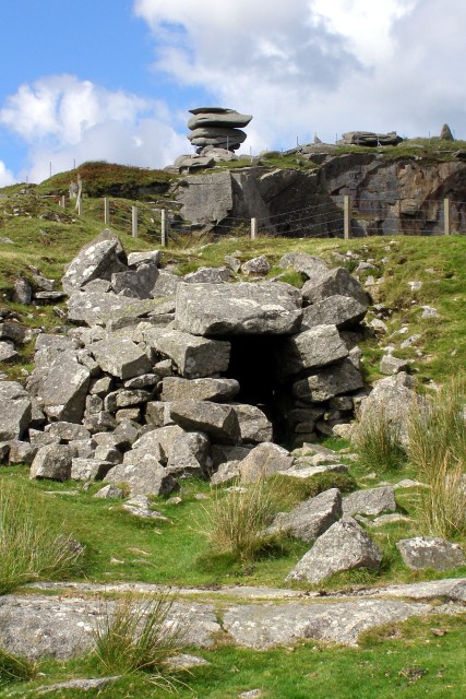 CaveMan-made underground passage · 164 yd
 Maryville Househouse · 393 yd
 Lackmacmahon Stone CrossCross · 759 yd
 Mine in CaherglassaunMine · 1.4 mi
 Drumharsna Castle (in ruins)Castle, tower house · 1.8 mi
 Drumharsna CastleHeritage attraction · 1.8 mi
 Ballymaquiff CastleCastle · 2.1 mi
 European BeechEuropean Beech · 2.2 mi
 Southern catalpaSouthern catalpa · 2.2 mi
 Mulroney's IslandIslet · 3.9 mi
 Cusheen IslandIslet · 4.3 mi
 Kilmacduagh Monastic SiteVisitor information · 5.1 mi