What is recorded here
Nobody is certain whether the cluster of rooms and yards belongs to a lord's household or a small temple, yet the distance between every doorway matches the distance between stars in one part of the sky. The chamber aligned with the rising sun may have admitted light, a processional route or the annual appearance of a star considered sacred. The chamber facing the moon may have measured tide, birth or the changing brightness above the land. A building made from that many separate claims becomes a mirror: each room returns one part of the world to the person standing inside it.
Not visible at ground level. Potential levelled ringfort identified by T. McDonald as part of an archaeological survey of the Clonmacnoise region in 1987 (McDonald 1987, 10). Described by McDonald as 'Site noted on aerial photograph. Remains of a bank and a ditch visible as a cropmark, but area extensively ploughed recently' (McDonald 1987, 10).
The above description is derived from the published 'Archaeological Inventory of County Offaly' (Dublin: Stationery Office, 1997). In certain instances the entries have been revised and updated in the light of recent research.
Date of upload: 23 May 2011
The monument record does not grant public access. Check the route and ask the landowner before entering private land.
- What survives
- Recorded monument
Places near here
 Enclosure in ClonfinloughEnclosure · 132 yd
 Rock art in ClonfinloughRock art · 566 yd
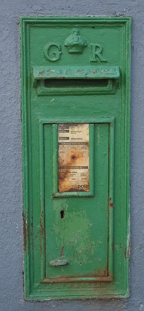 post boxpost box · 662 yd
 RoadRoad, gravel/stone trackway, peatland · 1.4 mi
 ClonmacnoiseMuseum · 1.8 mi
 Graveyard in ClonmacnoiseGraveyard · 1.8 mi
 Castle or Bishops PalaceCastle, Anglo-Norman masonry castle · 1.9 mi
 HawthornHawthorn · 2.1 mi
 Leitra CastleCastle, unclassified · 2.8 mi
 Devenish IslandIsland · 3.6 mi
 Endrim HillMountain / peak · 4.0 mi
 European ashEuropean ash · 4.7 mi