What is recorded here
Situated on a slight rise in a low-lying landscape. A circular enclosure is depicted only on a revision of the 1834 edition of the OS 6-inch map dated 1858. No archaeological feature is visible at ground level other than the natural rise.
The above description is derived from the published 'Archaeological Inventory of County Monaghan' (Dublin: Stationery Office, 1986). In certain instances the entries have been revised and updated in the light of recent research.
Date of revision: 14 December 2017
The monument record does not grant public access. Check the route and ask the landowner before entering private land.
- What survives
- Recorded monument
Places near here
 Lisbough (Site of)Fairy fort / earthen ringfort · 424 yd
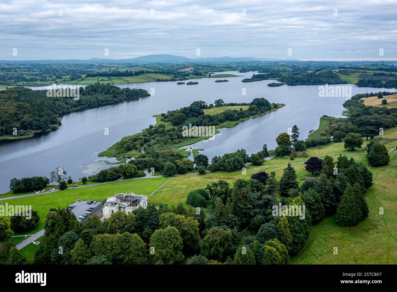 LisboughArchaeological place · 433 yd
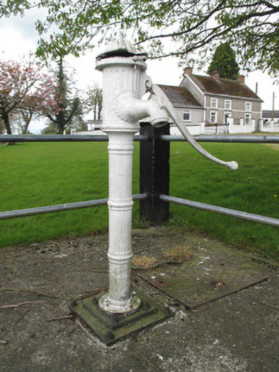 water pumpwater pump · 447 yd
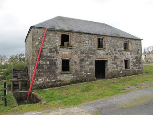 mill (water)mill (water) · 584 yd
 Western RedcedarWestern Redcedar · 1.4 mi
 Coast RedwoodCoast Redwood · 1.4 mi
 Rough HillMountain / peak · 2.1 mi
 Sliabh Beagh Hotel and Tourism CentreVisitor information · 3.3 mi
 Banba GiantHeritage attraction · 4.0 mi
 Roddy-Den-Drum GiantHeritage attraction · 4.2 mi
 Rossmore MonumentMemorial · 4.4 mi
 Bawn in Roosky (monaghan By., Monaghan Par.)Bawn · 4.5 mi