What is recorded here
Fairy fort in Tawnies Upper, County Cork: a 53m x 54m earthen ring on a hill, bank 2.8m high, fosse 1.3m deep, causeway 5m wide. The shape is not subtle. It is a boundary drawn in earth, likely old, perhaps much older than the fields around it. People may have kept livestock, hidden goods, marked territory or simply avoided the place because it felt owned. The fort still owns that much of the landscape.
In pasture, atop hill. Circular area (53m N-S; 54m E-W) enclosed by earthen bank (H 2.8m) E->NE, with external fosse (D 1.3m). Causeway (Wth 5m) across fosse to ENE.
The above description is derived from the published 'Archaeological Inventory of County Cork. Volume 1: West Cork' (Dublin: Stationery Office, 1992). In certain instances the entries have been revised and updated in the light of recent research.
Date of upload/revision: 14 January 2009
The monument record does not grant public access. Check the route and ask the landowner before entering private land.
- What survives
- Recorded monument
Places near here
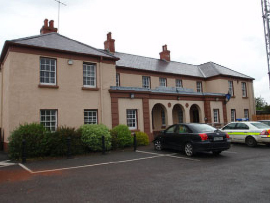 Clonakilty Garda Síochána Stationbarracks · 947 yd
 Fulacht fia in KilgarriffFulacht fia · 958 yd
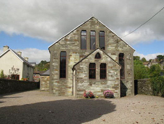 Kilgarriff Parochial HallHall · 1007 yd
 Grave YdGraveyard · 1059 yd
 Cloch na gCoillteMemorial · 1207 yd
 Clonakilty Tourist OfficeVisitor information · 1219 yd
 Michael Collins House MuseumMuseum · 1259 yd
 Clonakilty DistilleryHeritage attraction · 1418 yd
 Castle (Site of)Castle, unclassified · 1.3 mi
 Clonakilty HarbourBay · 1.6 mi
 Battle of the Big Cross (1798) Memorial MonumentMonument · 1.7 mi
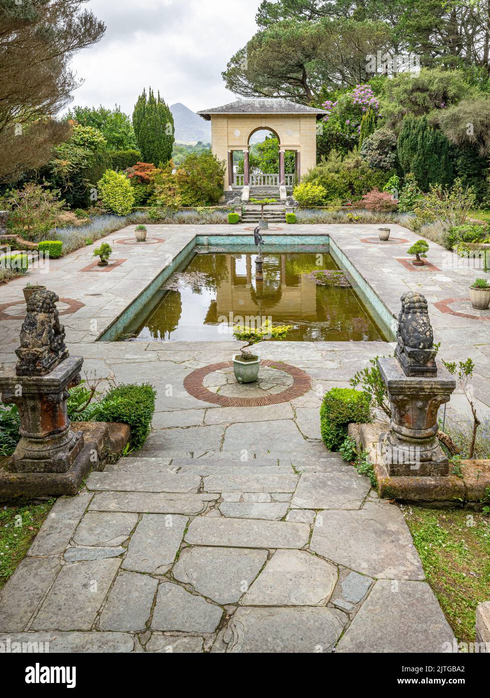 Garden WoodWood · 2.1 mi