What is recorded here
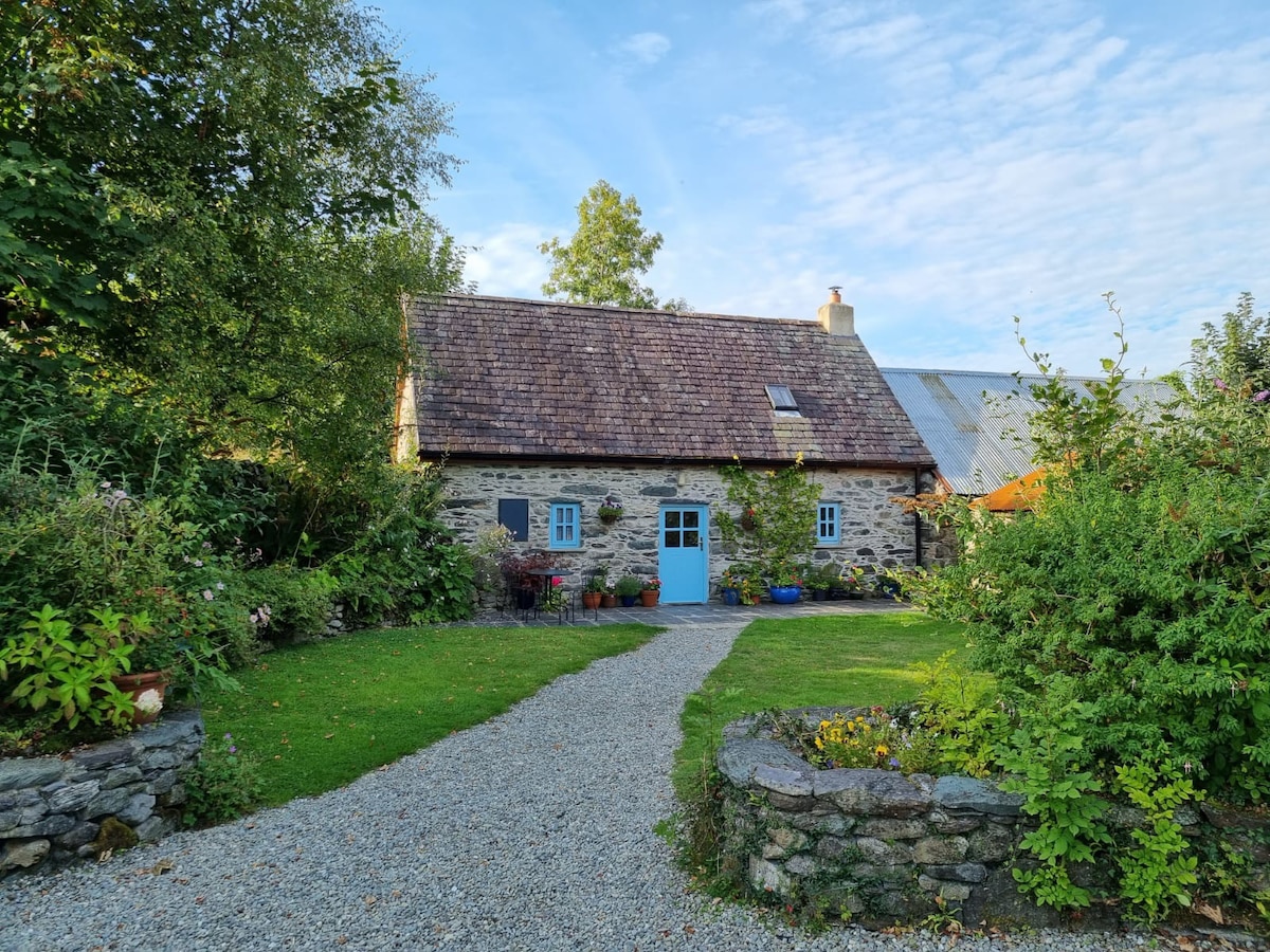
No visible evidence remains of the fort, yet the ground remembers the shape of human ambition. A house stands where the ring once cut the earth, perhaps built by people who knew the older boundary or perhaps by people who forgot it. Forgetting is not the same as losing. The fort is gone from sight but not from the story, and the story still turns the place into a room for imagination.
This circular enclosure appears on the 1841-42 and 1916 OS maps. No surface trace survives today and a house now occupies the site.
The above description is derived from C. Toal, ‘North Kerry Archaeological Survey’. Dingle. Brandon in association with FAS Training and Employment Authority (1995), no. 589. In certain instances the entries have been revised and updated in the light of recent research.
Date of upload: 2 August 2013
The monument record does not grant public access. Check the route and ask the landowner before entering private land.
- What survives
- Recorded monument
Places near here
 ToberreendoneyHoly well · 1.1 mi
 Hermitage in LixnawHermitage · 1.1 mi
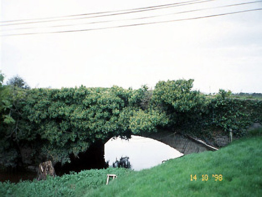 Lixnaw Bridgebridge · 1.1 mi
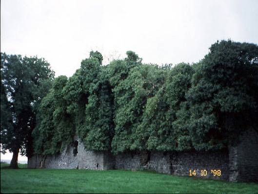 Old Courtcountry house · 1.2 mi
 CastleCastle, Anglo-Norman masonry castle · 1.3 mi
 Ballymacaquinn Castle (remains of)Castle · 4.1 mi
 Kilflynn Nature ReserveNature reserve · 4.8 mi
 Clashmealcon CavesCave · 5.2 mi
 Pierce's IslandIslet · 5.4 mi
 Inshaboy PointHeadland · 6.6 mi
 PulleenIslet · 6.6 mi
 Men's BeachBeach / strand · 6.6 mi