What is recorded here
Fairy fort / earthen ringfort in Moneen is a circular, grass-covered enclosure in County Cavan, Ireland, about thirty metres across, marked by a low earthen bank and an outer fosse. It sits at the bottom of a gentle east-facing slope beside two streams, one running north-south to the east and a tributary cutting close to the north. The northern edge may have been worn away by that water over time. Jean Charles Caillére first reported the place, and its shape remains visible from above despite age and erosion.
Located at the bottom of a gentle E-facing slope, with a N-S stream c. 20m to the E and a NW-SE tributary immediately to the N. A circular, grass-covered enclosure (diam. c. 30m E-W; c. 25m N-S) that appears to be defined by a low earthen bank and a visible external fosse (ext. diam. c. 40m NW-SE) is visible on all the aerial series but especially Google Earth. The perimeter is probably eroded at N by the tributary stream, and the monument was first reported by Jean Charles Caillére.
See the attached enhanced view from Google Earth (28/10/2018)
Compiled by: Michael Moore
Date of upload: 21 January 2022
A fairy fort or earthen ringfort in Moneen, likely dating to the early medieval period, is a circular, grass-covered enclosure with dimensions of approximately 30m E-W and 25m N-S. Local tradition associates such sites with fairy activity, and they were often avoided to prevent supernatural encounters.
The monument record does not grant public access. Check the route and ask the landowner before entering private land.
- What survives
- Recorded monument
Places near here
 TobermurvyHoly well · 446 yd
 TobermurrySpring · 465 yd
 Sweathouse in CorrakeeldrumSweathouse · 561 yd
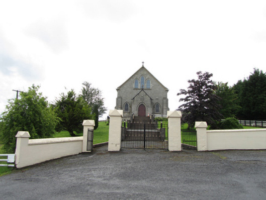 Church of the Immaculate Conceptionchurch/chapel · 1033 yd
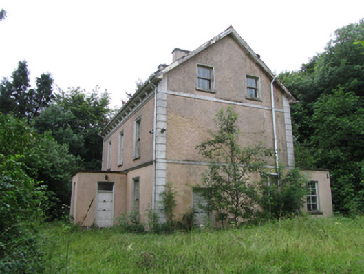 Corrard Househouse · 1341 yd
 Corrard ForestForest · 1479 yd
 CarrickbrannanMountain / peak · 1.1 mi
 CorrakeeldrumMountain / peak · 1.1 mi
 Republican Garden of RemembranceMemorial · 2.1 mi
 PlaygroudCliff · 3.4 mi
 Shannon PotSpring · 3.7 mi
 Legnashinna CavernCave · 3.7 mi