What is recorded here
Fairy forts hide in plain sight, wearing pasture and forgetfulness instead of wonder. An earthen ring in Mellon still holds its shape on a low hill, large enough to walk around and small enough to overlook. That contradiction is the point. See the ring, and the region stops being a backdrop.
In pasture, atop low hill with panoramic views. Roughly circular area (25m N-S; 25.3m E-W) enclosed by earthen bank (int. H 0.6m; ext. H 1.05m) NNE->SE and defined by scarped edge (H 0.4m; Wth 1.7m) SE->NNE. Bank, littered with field stones and wood debris, is abutted by recent (not shown on 1923 OS 6-inch map) field boundary at SE. Scarp, best preserved SSE->WSW, dips at W for c. 6m. Interior, under pasture, has dip down towards centre.
Compiled by: Denis Power
Date of upload: 26 August 2011
The monument record does not grant public access. Check the route and ask the landowner before entering private land.
- What survives
- Recorded monument
Places near here
 Rinekirk PointHeadland · 841 yd
 Mellon PointHeadland · 925 yd
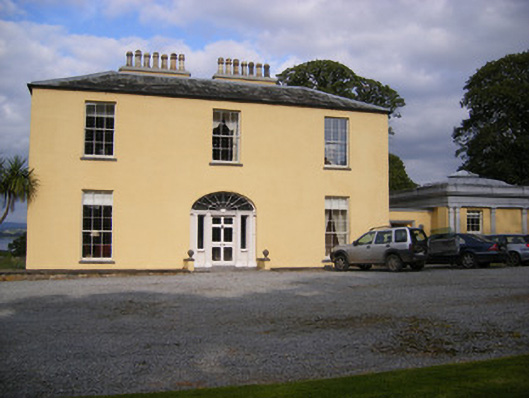 Mellon Housecountry house · 1040 yd
 Grave YardGraveyard · 1085 yd
 Grass IslandIslet · 1430 yd
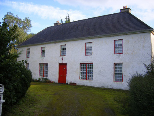 Mount Pleasantfarm house · 1572 yd
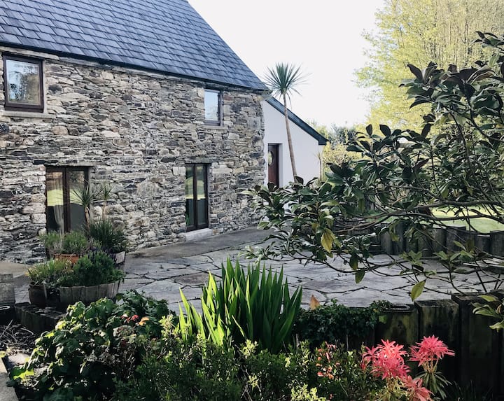 Enclosure in BallynacarrigaEnclosure · 1.5 mi
 Sweet ChestnutSweet Chestnut · 1.6 mi
 Shanpallas CastleCastle · 1.8 mi
 Castle (in ruins)Castle, tower house · 1.8 mi
 Bunratty Castlehouse · 2.0 mi
 Bunratty Castle and Folk ParkHeritage attraction · 2.2 mi