What is recorded here
Fairy forts are no joke, no fantasy, no whimsy. They are death traps. They are made to kill. That is what they are. End of story.
Situated immediately E of a stream which marks townland boundary with Ballyfookeen. Outline of circular-shaped area (approx. diam. 32m) defined by a scarp and shallow external fosse clearly visible on Digital Globe aerial imagery. Cultivation ridges running NW-SE are clearly visible running across the interior of the enclosure. Outline of monument clearly visible on Google Earth imagery taken 16/03/2016 and 19/03/2015. Possible ringfort.
See attached images of monument from Google Earth taken 16/03/2016 and 19/03/2015
Compiled by: Caimin O'Brien
Date of upload: 11 March 2019
The monument record does not grant public access. Check the route and ask the landowner before entering private land.
- What survives
- Recorded monument
Places near here
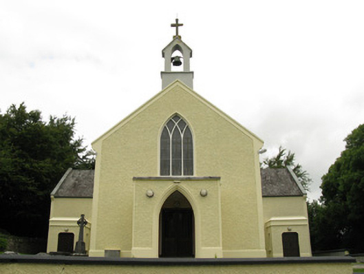 Saint Munchin's Catholic Churchchurch/chapel · 958 yd
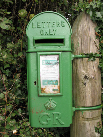 post boxpost box · 1136 yd
 Eagle Mount MoteCastle, motte · 1259 yd
 Bruree Castle Lower (in ruins)Castle, Anglo-Norman masonry castle · 1420 yd
 BarrowBarrow, ring-barrow · 1477 yd
 OutlinedGraveyard · 1.1 mi
 Saint Derivla's WellSpring · 4.5 mi
 King John's CastleCastle · 4.9 mi
 Holy Cross CemeteryGraveyard · 5.0 mi
 Lady's WellSpring · 5.1 mi
 KnockfeerinaMountain / peak · 6.2 mi
 Famine stoneMemorial · 6.7 mi