What is recorded here
Lissaniska held a circular earthen fort named Lios na Bró, the fort of the quern. It appeared on maps drawn in 1841 and 1939, yet no visible trace remains today. The earth may have swallowed the ridge or people may have levelled it for fields, but the name still points to a small domestic place where grain was broken and life was measured in hunger and patience.
Lisnabro/Lios na Bró (fort of the quern). Marked on the 1841-42 and 1939 OS maps as a circular enclosure, no surface trace of this site can be seen today.
The above description is derived from C. Toal, ‘North Kerry Archaeological Survey’. Dingle. Brandon in association with FAS Training and Employment Authority (1995), no. 435. In certain instances the entries have been revised and updated in the light of recent research.
Date of upload: 2 August 2013
The monument record does not grant public access. Check the route and ask the landowner before entering private land.
- What survives
- Recorded monument
Places near here
 LisnabroArchaeological place · 15 yd
 LissanfarranArchaeological place · 865 yd
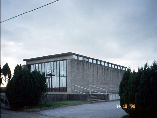 Corpus Christi Catholic Churchchurch/chapel · 1730 yd
 Duagh Church (in ruins)Church · 1.9 mi
 CastleCastle, tower house · 2.9 mi
 Purt CastleCastle · 4.1 mi
 John B. KeaneMemorial · 4.1 mi
 Statue of SchillerMemorial · 4.2 mi
 Lawson's CypressLawson's Cypress · 4.6 mi
 Kerry Writers' MuseumMuseum · 4.6 mi
 Lartigue MonorailMuseum · 4.8 mi
 Siege of Carrigafoyle Castlesiege · 9.8 mi