What is recorded here
Red soil and forgotten hands. Lios Ruadh is gone from sight but never stopped moving. Under grass and rain, its round shape still turns. What was hidden is not lost. It is waiting for someone who knows how to listen.
Lios Ruadh/Lios Rua (russet ringfort). Marked on the 1841-42 OS map as an oval enclosure, it appears much more round on the later edition map in which it also has a map designation. No surface trace of this site is now visible.
The above description is derived from C. Toal, ‘North Kerry Archaeological Survey’. Dingle. Brandon in association with FAS Training and Employment Authority (1995), no. 437. In certain instances the entries have been revised and updated in the light of recent research.
Date of upload: 2 August 2013
The monument record does not grant public access. Check the route and ask the landowner before entering private land.
- What survives
- Recorded monument
Places near here
 LisnabroArchaeological place · 303 yd
 LissanfarranArchaeological place · 664 yd
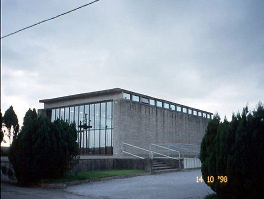 Corpus Christi Catholic Churchchurch/chapel · 1433 yd
 Duagh Church (in ruins)Church · 2.1 mi
 CastleCastle, tower house · 3.0 mi
 Purt CastleCastle · 4.2 mi
 John B. KeaneMemorial · 4.2 mi
 Statue of SchillerMemorial · 4.2 mi
 Lawson's CypressLawson's Cypress · 4.5 mi
 Kerry Writers' MuseumMuseum · 4.7 mi
 Lartigue MonorailMuseum · 4.8 mi
 Tarbet BayBay · 8.9 mi