What is recorded here
In grassland on a SW-facing slope of low hillock in undulating countryside with stream 60m to SW. Ringfort consists of a large raised circular area (diam. 56m NE-SW; 54m N-S) enclosed by an earth and stone bank (top Wth 2.5m; base Wth 4m; int. H 0.2-0.6m; ext. H 2.7m) and outer fosse (base Wth 3m; top Wth 7m; ext. D 1-2m) only visible from NNE through E top SE only elsewhere it has been filled in. Possible entrance gap (Wth 2m) at SE. Field around monument has been recently reclaimed with no damaged being caused to the ringfort which itself is in a very good condition. Gap in bank at SW appears to be a livestock gap (Wth 1.4m). Ruins of an abandoned farmhouse lie 50m to the N, field boundaries which were attached to the ringfort at N and S on latest ed. OS 6-inch map have subsequently been removed. Modern gap in bank at NNE probable cattle gap (Wth 1.5m). Bank best preserved from N through E to S elsewhere it has been mainly reduced to a scarp, interior is very well preserved. Ringfort (TS055-008----) 300m to E and enclosure (TS055-028----) 250m to SW and possible ringfort (TS055-029----) 240m to S. Interior has been raised up to create a level/flat interior on sloping terrain.
Compiled by: Jean Farrelly
Date of upload: 26 August 2011
The monument record does not grant public access. Check the route and ask the landowner before entering private land.
- What survives
- Recorded monument
Places near here
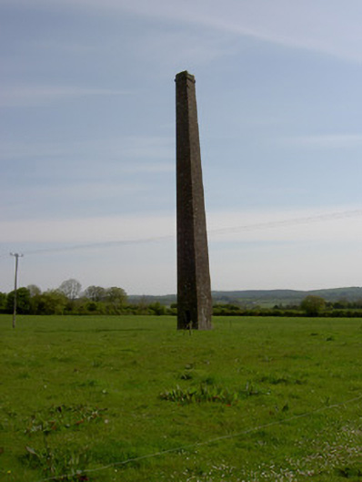 Copper Steeplechimney · 840 yd
 IndicatedSettlement cluster · 1240 yd
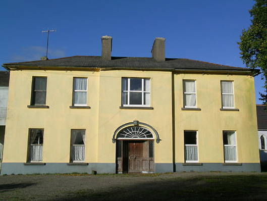 Ballingarry Presentation Conventcountry house · 1275 yd
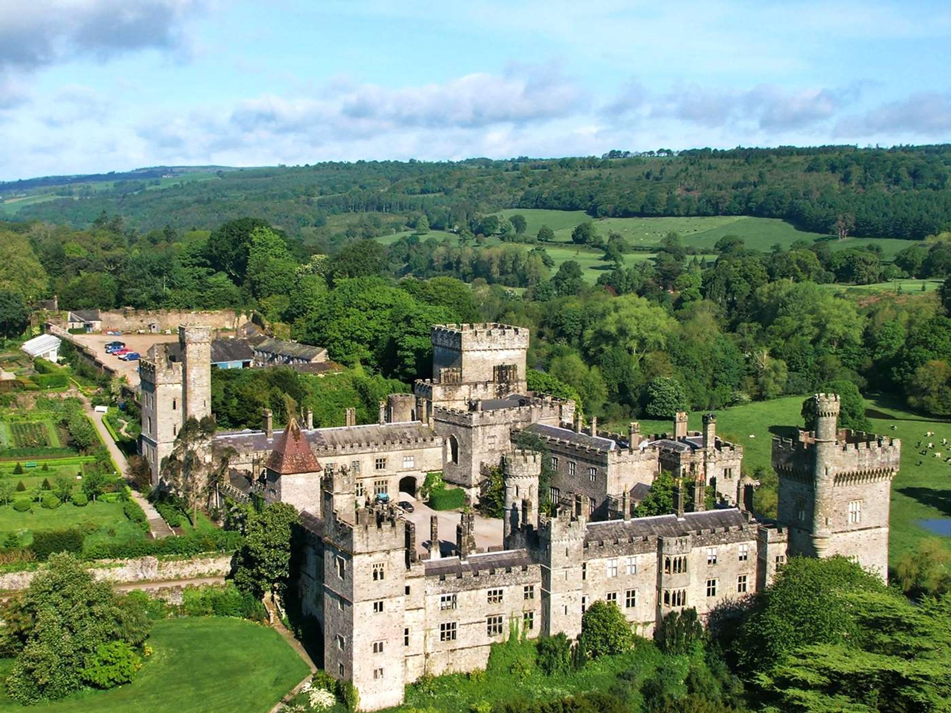 Site of Lisnamrock CastleCastle, unclassified · 1488 yd
 Ballingarry Castle (ruins)Archaeological place · 1574 yd
 Site of ChurchChurch · 1712 yd
 Waterloo HillMountain / peak · 2.9 mi
 Warhouse HillMountain / peak · 3.3 mi
 Top Field at Carey'sForest · 3.6 mi
 Second Field on the HillForest · 3.7 mi
 Slieveardagh Heritage CentreVisitor information · 4.0 mi
 Derrynaflan TrailHeritage attraction · 5.2 mi