What is recorded here
Situated on ESE facing slope of low rise of ground with excellent views to N, E & SSE. Circular area (diam. 35m) defined by a low bank of earth and stones which has been steepened from SSE-S-SW where it forms part of a modern field boundary with wide steep flat bottomed fosse. No clear entrance feature visible. Large portions of the enclosing bank has been quarried away at NNW & ENE. The ground outside the bank has been disturbed by quarrying also on the W. Slight traces of old cultivation ridges aligned NNE-SSW running across the interior.
See attached profile of monument surveyed and drawn by the ASI.
Compiled by: Frank Coyne & Caimin O'Brien
Date of upload: 21 November 2016
The monument record does not grant public access. Check the route and ask the landowner before entering private land.
- What survives
- Recorded monument
Places near here
 Site of Kinard NunneryReligious house nunnery, unclassified · 567 yd
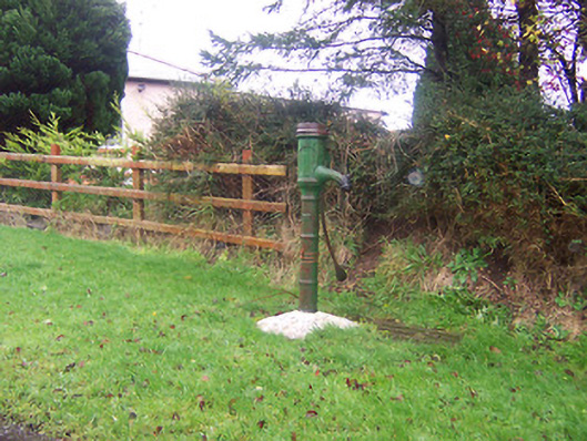 water pumpwater pump · 725 yd
 BarrowBarrow, mound barrow · 819 yd
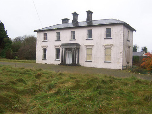 Coolambercountry house · 937 yd
 Coolamber CastleHouse, fortified house · 1505 yd
 CastleCastle, motte · 1.9 mi
 Granard MotteMotte-and-bailey castle remains · 4.5 mi
 1798 Monumentmonument · 4.5 mi
 Silver FirSilver Fir · 5.4 mi
 CarrickMountain / peak · 6.0 mi
 Watty's RocksIslet · 6.2 mi
 CarrickabaneMountain / peak · 6.3 mi