What is recorded here
Laravoolta holds a thirty-eight-metre earthen ring with gaps to the north and south-south-east, enclosing a dark underground passage. People may have walked that hidden tunnel during storms or kept valuable things from common view. The field fence curves around the outside like a second memory, marking the boundary between ordinary pasture and the forgotten life inside the bank.
In level pasture. Circular area (38m N-S) enclosed by earthen bank (H 1m); external fosse (D 0.8m); possible counterscarp bank (H 0.2m). Gaps in bank to N and SSE. Man-made underground passage (CO095-05602-) in interior. Earthen field fence encircles site SW->SE, varying between 19m distant to S and 39.8m distant to N.
The above description is derived from the published 'Archaeological Inventory of County Cork. Volume 1: West Cork' (Dublin: Stationery Office, 1992). In certain instances the entries have been revised and updated in the light of recent research.
Date of upload/revision: 14 January 2009
A fairy fort / earthen ringfort in Laravoolta is a circular early-medieval defensive or domestic site, likely dating to between the 5th and 10th centuries AD. It is associated with local folklore of fairy realms and otherworldly beings, common in Irish tradition for such sites.
The monument record does not grant public access. Check the route and ask the landowner before entering private land.
- What survives
- Recorded monument
Places near here
 Kill Burial Ground (Disused)Burial ground · 618 yd
 IndicatedFairy fort / earthen ringfort · 1037 yd
 KilnKiln, lime · 1.1 mi
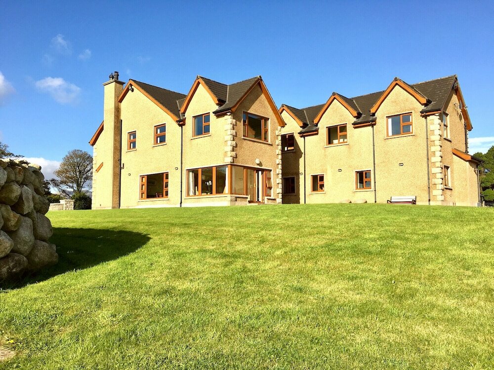 Country house in KillaneerCountry house · 1.2 mi
 Green HillMountain / peak · 2.0 mi
 Castle RockNamed rock · 3.3 mi
 The GlenWood · 3.8 mi
 Michael Collins MemorialMemorial · 4.0 mi
 Towers (in Ruins)House, fortified house · 4.3 mi
 Tobar MacloonaboySpring · 4.4 mi
 Castle DerryCastle · 4.5 mi
 Irish National Forestry FoundationNature reserve · 4.5 mi