What is recorded here
Situated on a slight N-facing slope in gently undulating pasture. Slightly raised circular area (diam. 21m) enclosed by a low narrow bank of earth and stone (Wth 1m; int. H 0.2m). There is no fosse visible at ground level. From S-W the bank has been removed. Occasional revetting blocks of stone are visible at the external base of the bank NW-NE. The original entrance is not recognisable.
Compiled by: Patrick F. O'Donovan
Date of upload: 21 April 2011
This remains an important historical record, but the official description says the monument is no longer visible or has been destroyed. The monument record does not grant public access. Check the route and ask the landowner before entering private land.
- What survives
- No visible remains or recorded as destroyed
Places near here
 Enclosure in Hazelwood DemesneEnclosure · 675 yd
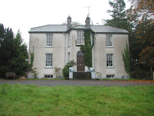 Colgagh Househouse · 1008 yd
 Enclosure in KiltycahillEnclosure · 1091 yd
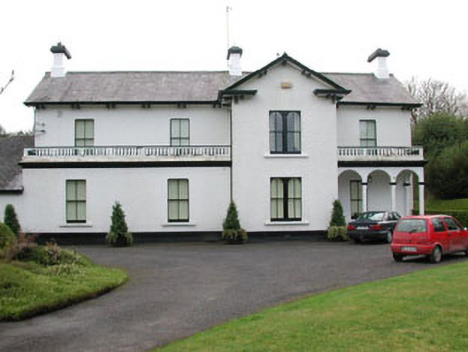 Ballyglass Househouse · 1300 yd
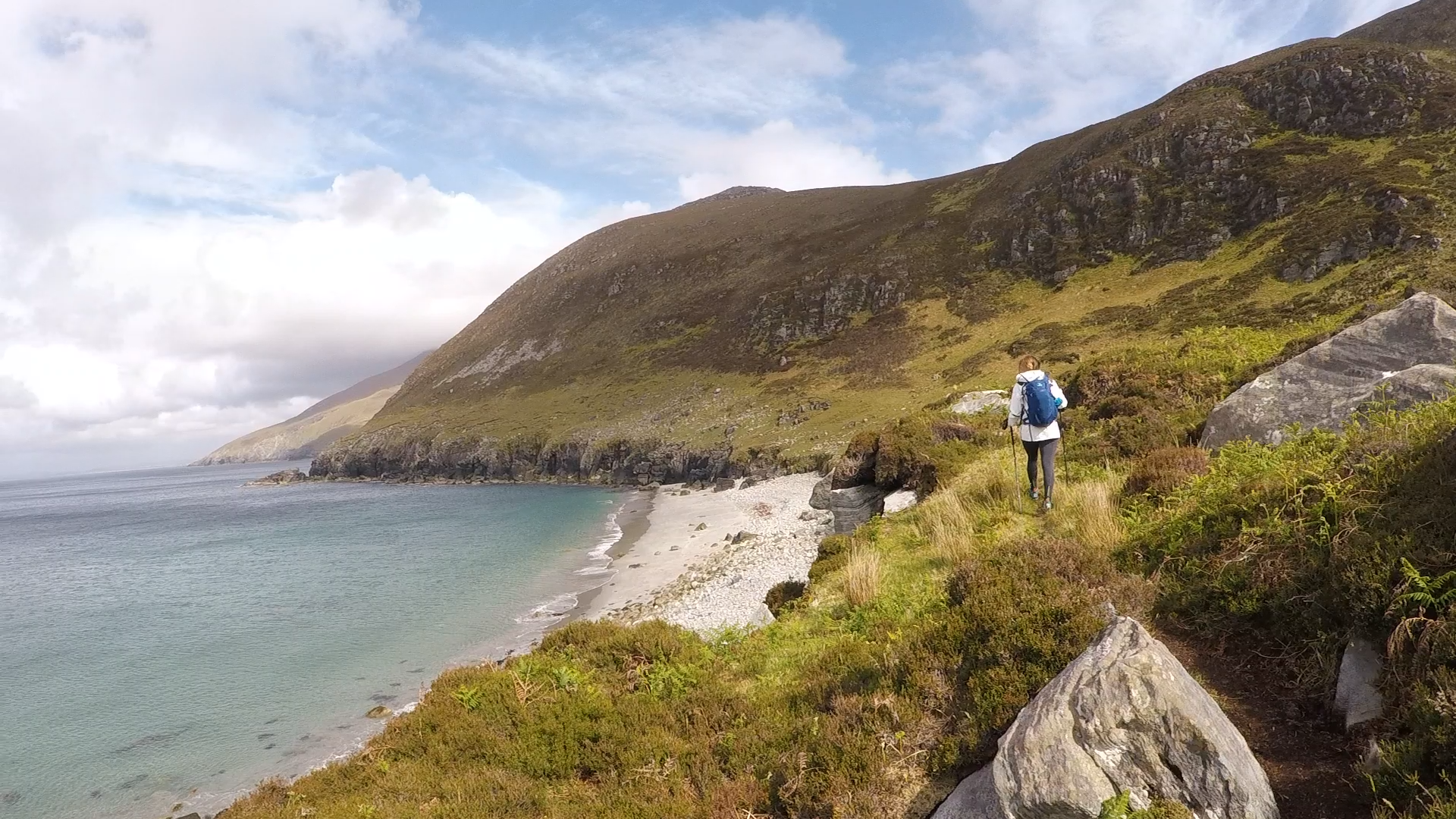 Annagh BayBay · 1738 yd
 Annagh IslandIsland · 1.0 mi
 Legganore BayBay · 1.0 mi
 Castle PointCastle, unclassified · 1.2 mi
 HazelwoodWood · 1.4 mi
 Pearl RockIslet · 1.4 mi
 Court Tomb TrailWalking route · 1.5 mi
 Holm OakHolm Oak · 1.6 mi