What is recorded here
In undulating rough pasture, on a rise. A circular area (diam. c. 20m) defined along the N and NE arcs by the remains of an earthen bank (ext. H 0.8m) with a slight internal lip. The interior is completely covered with overgrowth.
The above description is derived from the published 'Archaeological Inventory of County Sligo' compiled by Ursula Egan, Elizabeth Byrne, Mary Sleeman with Sheila Ronan and Connie Murphy (Dublin Stationery Office, 2005).
Date of upload: 18 January 2008
The monument record does not grant public access. Check the route and ask the landowner before entering private land.
- What survives
- Recorded monument
Places near here
 Enclosure in KillerryEnclosure · 252 yd
 Ritual siteRitual site, holy/saint's stone · 411 yd
 Church (in Ruins)Church · 430 yd
 MoteCastle, motte · 886 yd
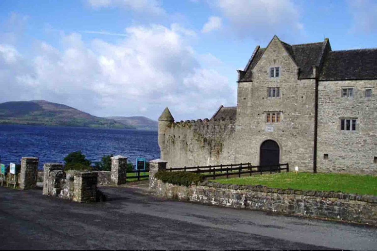 Harrisons CastleHouse, fortified house · 1209 yd
 Cullentra ForestForest · 1.1 mi
 Trawane BayBay · 1.3 mi
 InnisfreeIslet · 1.4 mi
 Creevelea AbbeyReligious house, Franciscan friars · 1.4 mi
 SlishwoodWood · 1.6 mi
 Slishwood Island EastIslet · 2.2 mi
 Bunowen BayBay · 2.4 mi