What is recorded here
Kilbreedy holds a broken earthen ring where the northern bank vanished between map surveys, leaving a gap wide enough for curiosity to walk through. The remaining scrub-covered bank and faint outer ditch still mark a place people shaped before modern fields swallowed it. Whatever vanished from the north may have been taken for stone, soil or memory, but the ring endured long enough to resist forgetting.
In pasture, in NE corner of a field, ringfort (LI038-097----) and enclosure (LI038-091----) lie 180m and 305m to the NE respectively. Depicted on the 1840 ed. OSi 6-inch map as a raised oval-shaped area defined by a scarp. Shown on the 1897 ed. OSi 25-inch map as sub-circular shaped area (dims. c. 20m N-S; 27m E-W) enclosed by a bank and external fosse from SW-W-N-NE. The enclosing bank from NW-N-NE is irregular in shape and suggests that the N quadrant of the monument was possible quarried out between the map dates. In 1840 the Ordnance Survey recorded this monument as one of ‘four ancient forts, one in the N and the other three in the SW of the townland’ (OSNB Abbeyfeale to Bruree, 270). Monument visible as circular-shaped area enclosed by a scrub-covered bank with scrub covered area at N and modern gap at NW on OSi orthophotograph taken between 2005-12 and on Google Earth orthoimages. Trace of outer fosse visible from SE-S-W on Google Earth orthoimage dated 29/03/2012.
See attached Google Earth orthoimages
Compiled by: Fiona Rooney
Date of upload: 19 April 2021
The monument record does not grant public access. Check the route and ask the landowner before entering private land.
- What survives
- Recorded monument
Places near here
 Kilbreedy Burial Gd (for Children)Children's burial ground · 405 yd
 Patricks WellHoly well · 999 yd
 Church (in ruins)Church · 1.3 mi
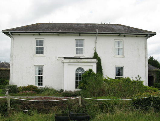 Ballyteigue Housecountry house · 1.5 mi
 Bruree Castle Lower (in ruins)Castle, Anglo-Norman masonry castle · 1.8 mi
 Eagle Mount MoteCastle, motte · 2.1 mi
 Saint Derivla's WellSpring · 3.9 mi
 Our Lady's WellSpring · 4.7 mi
 KnockfeerinaMountain / peak · 4.8 mi
 Famine stoneMemorial · 5.3 mi
 Flat cemetery in Kiltenan SouthFlat cemetery · 7.9 mi
 National Co-op MuseumMuseum · 11 mi