What is recorded here
Just off the NE-facing slope of a slight NW-SE ridge. Circular grass-covered platform (diam. 24.3m ENE-WSW; 22.8m WNW-ESE; H 1.7m at E to 2.2-2.7m generally) defined by a flat-bottomed fosse (Wth of top 7.6-8.7m; Wth of base 3-4m; D 0.4-0.9m), and a slight outer bank (Wth 4m; H 0.1-0.2m) S-NNW. There are traces of the fosse NNW-ENE (max. ext. diam. 44.5m ENE-WSW), but there is no identifiable original entrance. A WNW-ESE field bank and hedge overlie the base of the platform at N, and the SE quadrant has been quarried (D 0.6-1m). Described as a ring-barrow (Herity 1983, 137).
Compiled by: Michael Moore
Date of upload: 24 August 2010
The monument record does not grant public access. Check the route and ask the landowner before entering private land.
- What survives
- Recorded monument
Places near here
 Embanked enclosureFairy fort / earthen ringfort · 800 yd
 Church in GlenvelaChurch · 1443 yd
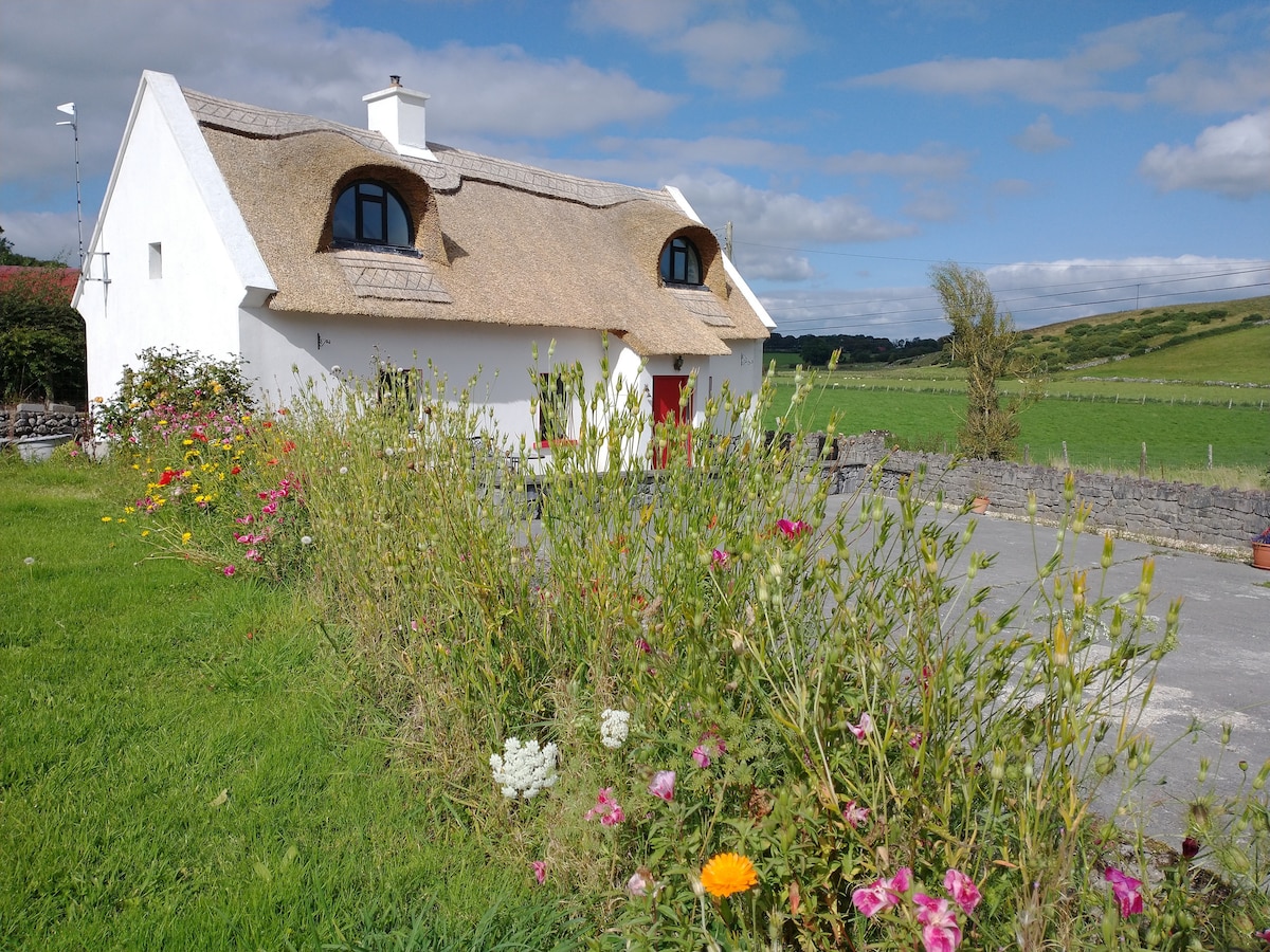 Sweathouse in RathmoyleSweathouse · 1458 yd
 CastlerubyCastle, unclassified · 1.3 mi
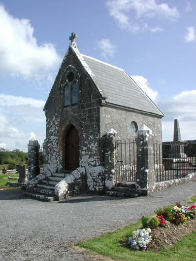 Irwin Mortuary ChapelOfficially recorded historic building · 1.4 mi
 European ashEuropean ash · 2.8 mi
 ToberagullaSpring · 2.8 mi
 Cruachan Aí Heritage CentreMuseum · 3.7 mi
 GortnacushlaunCastle, unclassified · 3.9 mi
 Silver IslandIslet · 5.0 mi
 Workhouse MemorialMemorial · 5.7 mi
 HawthornHawthorn · 7.5 mi