What is recorded here
No visible causeway crosses the slight gap in the defensive ditch, leaving the fort exposed to sudden weather and unwanted visitors. Inside the wet circle, faint rectangular foundations mark a small chamber where someone may have sorted grain, folded cloth, or waited for news from the valley below. The fort stands less like a dead ruin than a paused act of living, still holding its shape against grass, rain and time.
Below the crest of the a hill, on the W side of a small stream gully running down the fairly steep NE side of a NW-SE valley, in wet pasture. There are good views in all directions. A circular platform (diam. 44m N-S; 46m E-W) defined by a bank (int. H 0.3-0.4m; ext. H 1.5m; Wth 2m) and a steep-sided fosse (Wth 3.5m; D c. 1.2m). There is a slight field bank around the outer edge of the fosse. There is a ramped entrance (Wth 3.5m) in the S quadrant, though no causeway over the fosse which is quite slight in this sector. In the SE quadrant of the interior there are the low foundations of a rectangular building (dims. c. 5m x 3m) defined by a low bank (int. H 0.1m; ext. H 0.3m; Wth 1.5m).
Compiled by: Jean Farrelly
Date of upload: 6 May 2020
The monument record does not grant public access. Check the route and ask the landowner before entering private land.
- What survives
- Recorded monument
Places near here
 CastleCastle, unclassified · 1.5 mi
 Enclosure in Killeen (crannagh By.)Enclosure · 1.7 mi
 Killeen Fox CovertForest · 1.7 mi
 bridgebridge · 1.7 mi
 IndicatedEnclosure · 1.8 mi
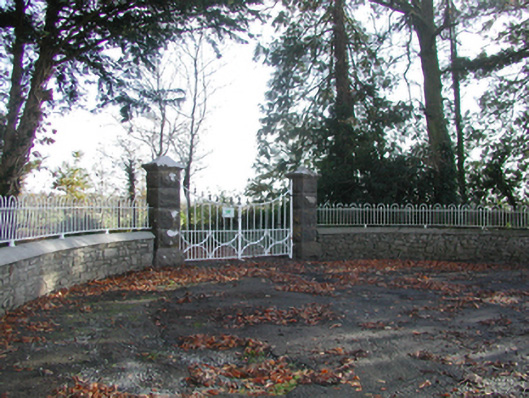 Curragh Housegates/railings/walls · 1.9 mi
 Deerpark WoodWood · 2.0 mi
 Warhouse HillMountain / peak · 2.3 mi
 Grange Castle (in ruins)Castle, tower house · 2.3 mi
 Bregaun HillMountain / peak · 3.4 mi
 Kilcooly AbbeyHeritage attraction · 3.6 mi
 Ballykeefe AmphitheatreHeritage attraction · 4.7 mi