What is recorded here
In rough stony pasture, on a gentle SE-facing slope. A circular area (31m NW-SE; 28m NE-SW) enclosed by a scarp (H 1-1.2m) with a slight internal lip (Wth c. 1.5m) E-SW, by a stone field boundary W-NNE and by a low sod-covered stony rise (int. H 0.4m) NNE-E. The scarp and lip appear to be very stony and with the low rise are heavily overgrown with blackthorn bushes and brambles. A possible entrance (Wth c. 1.2m) is at ESE. The S portion of the interior is raised to compensate for the hillslope. The NW quadrant the interior is fairly level but it slopes down from there to SE, levelling out again close to the scarp SE-S. There is a Man-made underground passage (SL025-024002-) in the SW quadrant. A large slab, barely protruding above the sod, is located in the NE quadrant close to the NNE perimeter and appears to overlie a shallow hollow but there is no evidence of a Man-made underground passage chamber here.
The above description is derived from the published 'Archaeological Inventory of County Sligo' compiled by Ursula Egan, Elizabeth Byrne, Mary Sleeman with Sheila Ronan and Connie Murphy (Dublin Stationery Office, 2005).
Date of upload: 18 January 2008
The monument record does not grant public access. Check the route and ask the landowner before entering private land.
- What survives
- Recorded monument
Places near here
 Hut site in CarrowgavneenHut site · 695 yd
 Man-made underground passage in CarrowgavneenMan-made underground passage · 1054 yd
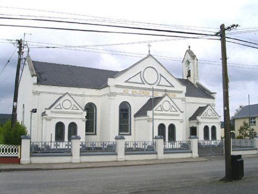 Catholic Church of the Sacred Heart and Saint Josephchurch/chapel · 1.2 mi
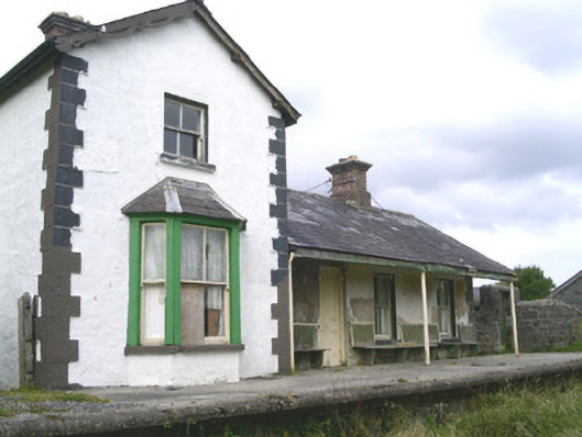 Leyny Railway Stationrailway station · 1.8 mi
 CloonaghMountain / peak · 2.2 mi
 DoomoreMountain / peak · 2.6 mi
 Pigeonpark WoodForest · 2.9 mi
 Valley WoodForest · 3.1 mi
 Bawn in Longford DemesneBawn · 3.2 mi
 Moymlough Castle (in Ruins)Castle, tower house · 3.4 mi
 Giant's GraveArchaeological place · 4.2 mi
 RinnatalleenHeadland · 4.3 mi