What is recorded here
Forty centuries of rain have not erased the twin banks and cutting ditch that circle Gortagarraun. The earth still holds its shape across thirty-six metres, framing a turlough that drinks the sky and returns it later. A field wall and quarry have bitten the edges, yet the fort remains vivid enough to stop a walking person mid-sentence.
In undulating grassland over looking a turlough to NW and bogland to S. Subcircular rath (E-W 36m), in fair condition, defined by two banks and an intervening fosse. The inner bank is present from NE through E to SE; elsewhere a scarp forms the enclosing element. The fosse and outer bank are best preserved from SW through W to N. A field wall cuts the monument at S, and only faint traces of the fosse survive to S of it. A quarry has encroached upon the enclosing elements at NE. (Neary 1914, 114, no. 101)
The above description is derived from the published 'Archaeological Inventory of County Galway Vol. II - North Galway'. Compiled by Olive Alcock, Kathy de hÓra and Paul Gosling (Dublin: Stationery Office, 1999).
Date of upload: 05 August 2010
The monument record does not grant public access. Check the route and ask the landowner before entering private land.
- What survives
- Recorded monument
Places near here
 Church (in Ruins)Church · 1107 yd
 Kilmurry Church (in ruins)Church · 1139 yd
 Enclosure in Brackloon (ballymoe By.)Enclosure · 1262 yd
 Enclosure in Knockroe (ballymoe By.)Enclosure · 1.2 mi
 Claddagh Castle (in ruins)Castle, tower house · 1.3 mi
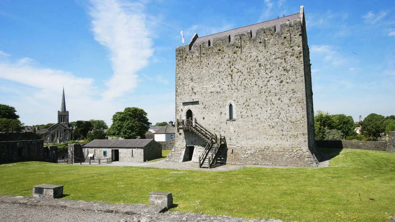 Lerhin CastleCastle · 3.0 mi
 European ashEuropean ash · 8.0 mi
 Knockmoy AbbeyHeritage attraction · 8.7 mi
 Mass RockNamed rock · 9.8 mi
 Menlough IRAMemorial · 11 mi
 KnockmaaWood · 12 mi
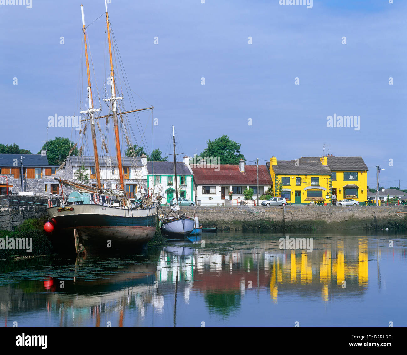 LisseachraFairy fort / earthen ringfort · 1.2 mi