What is recorded here
In pasture on high ground with extensive views to N and E. Ringfort (WM033-066----) 210m to the E, and second ringfort (WM033-063----) 420m to the NNW. Roughly sub-rectangular-shaped area (dims. 54.8m N-S; 44.7m E-W) defined by an earth and stone bank covered with trees and bushes with shallow external fosse. There is no indication of an original entrance feature and there are several gaps in the bank especially at S, all of which appear to be modern. The bank is best preserved from W-N and the fosse is well preserved from N-NE. A large concrete base for a silage pit has been constructed in the W quadrant of the ringfort interior.
Compiled by: Caimin O’Brien
Date of upload: 25 July 2013
The monument record does not grant public access. Check the route and ask the landowner before entering private land.
- What survives
- Recorded monument
Places near here
 Partially indicatedFairy fort / earthen ringfort · 506 yd
 Fairy fort / ringfort in GneevebaneFairy fort / ringfort · 758 yd
 Swiss Cottagehouse · 1.2 mi
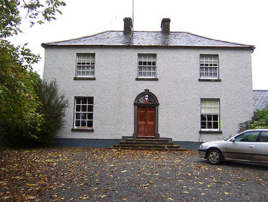 Far View Househouse · 1.2 mi
 CastleCastle, hall-house · 1.2 mi
 Castlelost MoatCastle, motte and bailey · 1.7 mi
 Derrygreenagh HillMountain / peak · 3.5 mi
 Croghan HillMountain / peak · 4.3 mi
 Finnrenashark Holy WellSpring · 4.5 mi
 Knockdrin HillMountain / peak · 4.5 mi
 Croghan Hill WalkVisitor information · 4.6 mi
 Ardan WoodWood · 4.8 mi