What is recorded here
Glennahulla holds two earthen rings ten metres apart, the northern one spanning twenty-eight metres across gently undulating pasture. Its bank rises one and a half metres externally, encloses a shallow outer ditch, and survives quarrying damage on the south-east edge. The southern and south-western sections have vanished into overgrowth, hiding the interior from casual view. This is not a fairy tale but a human fort, its boundary half-forgotten by grass and time.
In gently undulating pasture. Most northerly of two ringforts (CO019-03801-), c. 10m apart, in overgrown patch of ground surrounded by field boundaries. Circular area (diam. c. 28m E-W) enclosed by earthen bank (int. H 0.8m; ext. H 1.65m) W->E, with shallow external fosse; bank to SE disturbed by quarrying; bank to S and SW not visible due to overgrowth. Interior heavily overgrown.
The above description is derived from the published 'Archaeological Inventory of County Cork. Volume 4: North Cork' (Dublin: Stationery Office, 2000). In certain instances the entries have been revised and updated in the light of recent research.
Date of upload/revision: 14 January 2009
The monument record does not grant public access. Check the route and ask the landowner before entering private land.
- What survives
- Recorded monument
Places near here
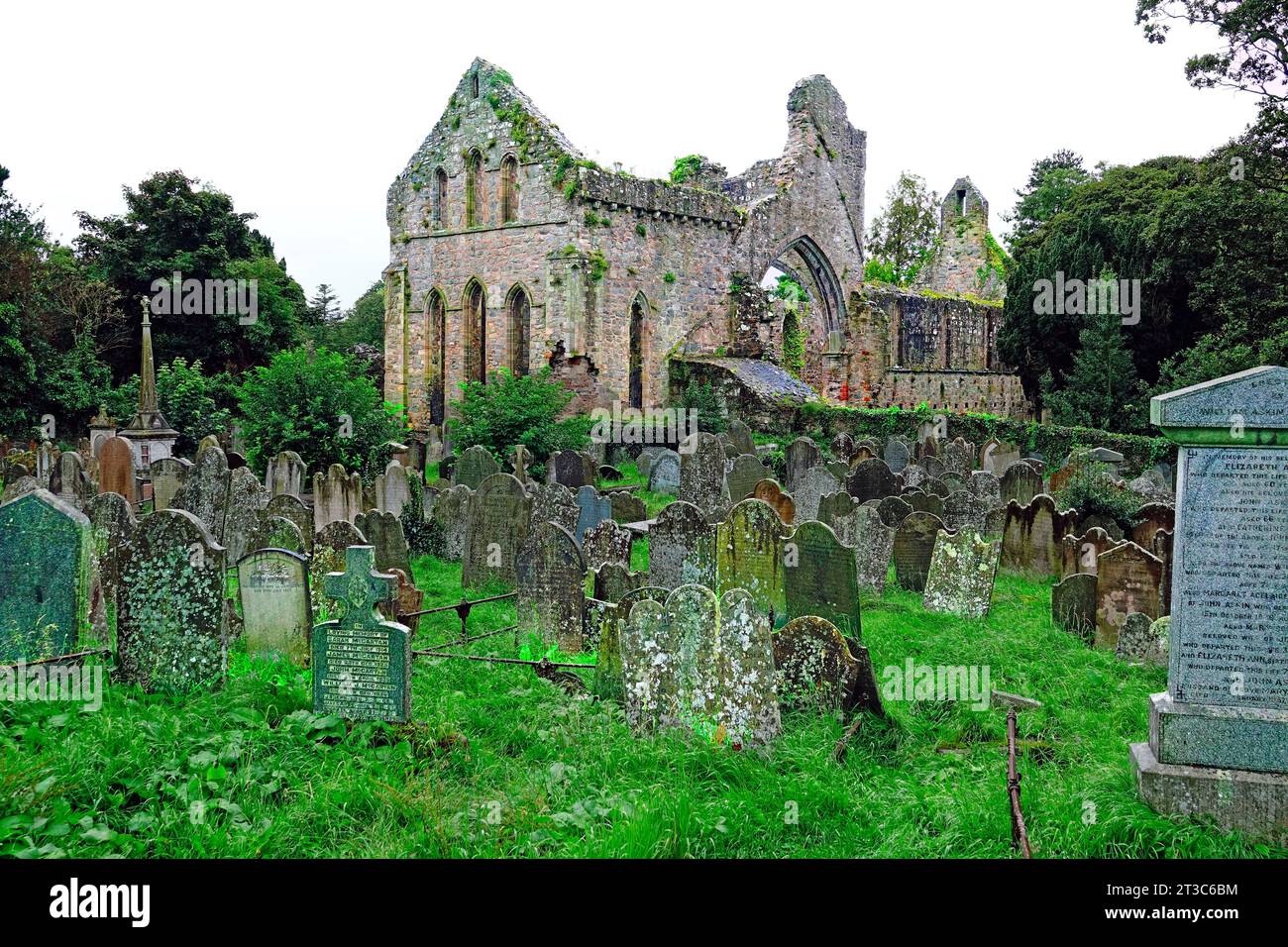 Enclosure in Cloghleafin (condons and Clongibbon By., Marshalstown Par.)Enclosure · 550 yd
 Fulacht fia in Cloghleafin (condons and Clongibbon By., Marshalstown Par.)Fulacht fia · 1025 yd
 Ballydeloughy Church (in Ruins)Church · 1233 yd
 Ballyloughy CastleCastle · 1372 yd
 Marshalstown Bridgebridge · 1542 yd
 CastleCastle, unclassified · 1579 yd
 Flat cemetery in Ballyenahan NorthFlat cemetery · 1.9 mi
 Kilclooney WoodWood · 2.8 mi
 St Dominick's WellSpring · 3.9 mi
 Graveyard in BoherashGraveyard · 3.9 mi
 North Meadow WoodForest · 4.2 mi
 FlagCave · 4.4 mi