What is recorded here
Lissacurrig, also called Lios Uí Coruig or O'Corick's fort, stood as a circular earthen enclosure in County Kerry. It appeared on maps from 1841-42 and 1915-16, with a cave marked inside the earlier version. The site has since been levelled, erasing its ridge and room. What remains is a name and a ghost of shape, perhaps still turning in the soil beneath ordinary ground.
Lissacurrig/Lios Uí Coruig (O'Corick's fort). Situated SE of KE009-071----, this circular enclosure is marked on the 1841-42 and 1915-16 OS maps. On the earlier edition 'cave' (KE009-072001-) is marked in the interior, but it does not appear on the later edition. This site has now been levelled and no trace survives.
The above description is derived from C. Toal, ‘North Kerry Archaeological Survey’. Dingle. Brandon in association with FAS Training and Employment Authority (1995), no. 350. In certain instances the entries have been revised and updated in the light of recent research.
Date of upload: 2 August 2013
A fairy fort or earthen ringfort in Glanerdalliv, likely dating to the early medieval period, is associated with the name Lios Uí Coruig (O'Corick's fort), suggesting a historical or legendary figure. The site's interior once contained a marked cave, and its long-standing representation on Ordnance Survey maps indicates continuity in local recognition of its significance.
The monument record does not grant public access. Check the route and ask the landowner before entering private land.
- What survives
- Recorded monument
Places near here
 ToberreendoneyHoly well · 768 yd
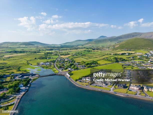 LisnagoneenyArchaeological place · 1112 yd
 Rattoo Church (in ruins)Church · 1397 yd
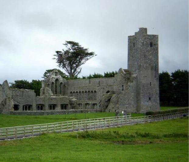 Abbey (in ruins)Religious house, Augustinian canons · 1601 yd
 CastleCastle, Anglo-Norman masonry castle · 2.4 mi
 Clashmealcon CavesCave · 4.0 mi
 Crazy GolfHeritage attraction · 4.3 mi
 Pierce's IslandIslet · 4.5 mi
 Long StrandBeach / strand · 4.6 mi
 Ballymacaquinn Castle (remains of)Castle · 4.6 mi
 PulleenIslet · 5.5 mi
 Men's BeachBeach / strand · 5.5 mi