What is recorded here
Situated on a low rise in undulating ground with a large stream to W and S. Depicted as a subcircular or oval-shaped enclosure on all editions of the OS 6-inch map. Largely levelled. Remains comprise a raised circular area (diam. c.40m) defined by a scarp (H 0.05m - 0.5m). No surviving remains of bank, fosse or entrance feature.
Compiled by: Patrick F. O'Donovan
Date of upload: 19 January 2011
The monument record does not grant public access. Check the route and ask the landowner before entering private land.
- What survives
- Recorded monument
Places near here
 Saint Adamnan's Catholic Churchchurch/chapel · 537 yd
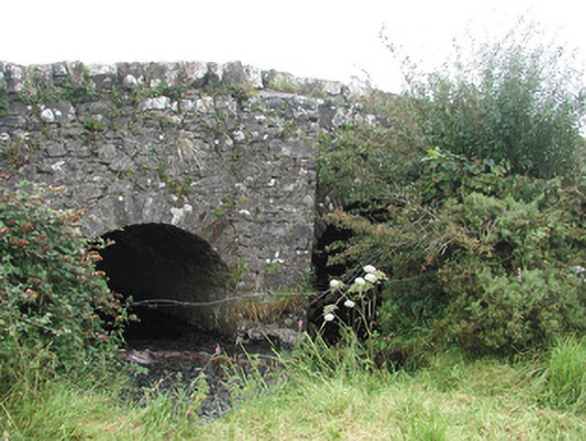 Ardnaglass Bridgebridge · 1176 yd
 Enclosure in ArdabroneEnclosure · 1184 yd
 CastleCastle, Anglo-Norman masonry castle · 1221 yd
 Enclosure in LeekfieldEnclosure · 1312 yd
 Dunmoran StrandBeach / strand · 1.4 mi
 Bawn in CarrowbrickeenBawn · 2.1 mi
 Aughris BeachBeach / strand · 2.2 mi
 Giant's GraveArchaeological place · 2.7 mi
 Valley WoodForest · 2.8 mi
 Derkmore PointHeadland · 2.8 mi
 Pigeonpark WoodForest · 3.0 mi