What is recorded here
Half a kilometre west of the main road, a low bank still circles a square of grass in Garryrickin. The earth rises four metres high on three sides, dips at two gaps, and drops again into a shallow ditch that water may have filled when storms came. Inside, briars and hawthorn tangle over hummocks where people may have lived, buried things, or simply walked past without naming what they saw. The fort does not announce itself. It waits for someone to stop, touch the bank, and ask why so much trouble was taken to keep a small place separate from the fields around it.
On mostly level ground, with a slight slope to the W, in pasture. There is a stream along the SW side. A irregular, sub-square shaped area (int. diam. 48m) with enclosing bank (Wth 4-5m) from NW-E. Traces of a shallow outer fosse (Wth 3m; D 0.4m) survive only at the N and W. There are gaps in the bank at the NW and NE. When inspected the interior was hummocky and overgrown with briars and hawthorn.
Compiled by: Jean Farrelly
Date of upload: 12 July 2023
The monument record does not grant public access. Check the route and ask the landowner before entering private land.
- What survives
- Recorded monument
Places near here
 Garryrickin Househouse · 482 yd
 Bawn in GarryrickinBawn · 581 yd
 Garryrickin Ringfort (rath)Archaeological place · 872 yd
 James (Jim) McKennaMemorial · 1417 yd
 Springmount Househouse · 1.0 mi
 Butlerswood RingfortArchaeological place · 1.3 mi
 KillameryVisitor information · 1.3 mi
 Killamery High CrossVisitor information · 1.4 mi
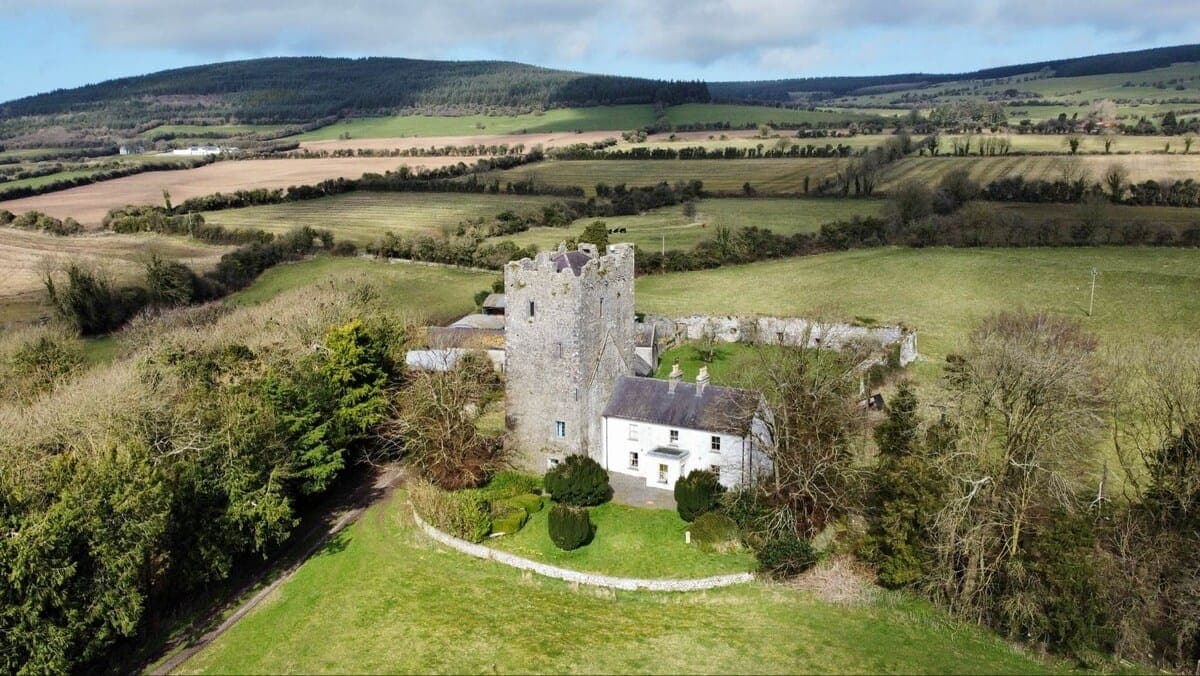 CastleCastle, tower house · 1.8 mi
 Coolaghmore National SchoolMemorial · 1.9 mi
 HawthornHawthorn · 1.9 mi
 European ashEuropean ash · 2.1 mi