What is recorded here
No visible fort remains at Garrynagry, though a shallow circular depression and faint earthworks mark the site. The lost rath probably stood on the slight rise, using the land itself as a boundary before housing or forgetting removed its sharper edges. What is left is a quiet outline: large enough to have mattered, worn enough to resist description.
Situated on a slight rise. Listed as ' Enclosure' in the SMR (1992) and the RMP (1996). A circular grass-covered area (diam. 34.7m E-W; 33.3m N-S) (max. ext. diam. 55m N-S) defined by a scrub-covered earthen bank (Wth 8-9m; int. H 1.2m; ext. H 3-3.6m) E-N, and a complete outer fosse (Wth of top 8.8-9.5m; Wth of base 2.5-3.5m; D 0.4-0.7m). Nineteenth-century houses are built in the fosse at E, and the only entrance ramp to the rath at E may be related to these.
Compiled by: Michael Moore
Date of upload: 31 May 2016
The monument record does not grant public access. Check the route and ask the landowner before entering private land.
- What survives
- Recorded monument
Places near here
 LiskylenagappaghFairy fort / earthen ringfort · 477 yd
 LisliggaunFairy fort / earthen ringfort · 1087 yd
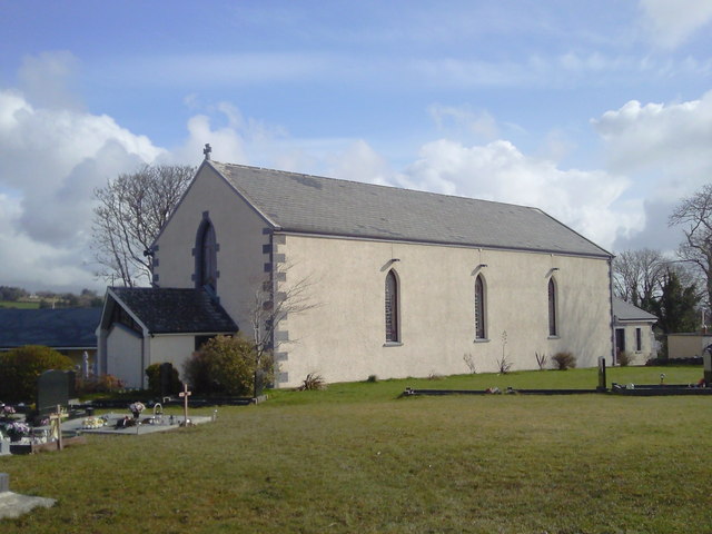 Saint Joseph's Catholic Churchchurch/chapel · 1.6 mi
 Shallee Castle (in Ruins)Castle, tower house · 1.8 mi
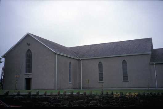 Catholic Church of Saint John the Baptistchurch/chapel · 2.0 mi
 Poul na gollorCave · 2.6 mi
 Inch Castle (in Ruins)Castle, tower house · 2.8 mi
 Alice and Gwendoline CaveMuseum · 4.1 mi
 Rockmount WoodWood · 4.3 mi
 Post Office FieldNature reserve · 4.5 mi
 Killone AbbeyHeritage attraction · 4.7 mi
 Clare MuseumMuseum · 4.7 mi