What is recorded here
Farnanes Ringfort in County Cork was a roughly circular earthen enclosure mapped in 1842, abutting a field fence on an east-facing slope south of Farnanes Woods. The earth has levelled or vanished, leaving no visible trace despite the wide northern view, so the fort exists only in the old survey line and the memory of its shape. It may have marked a home, a boundary or a sacred pause in the landscape, but the ground has taken back its edges.
In pasture, on E-facing slope, S of Farnanes Woods, with extensive view to N. Roughly circular enclosure, abutting field fence to E, on O.S. map (1842). No indication of site on ground.
The above description is derived from the published 'Archaeological Inventory of County Cork. Volume 1: West Cork' (Dublin: Stationery Office, 1992). In certain instances the entries have been revised and updated in the light of recent research.
Date of upload/revision: 14 January 2009
The monument record does not grant public access. Check the route and ask the landowner before entering private land.
- What survives
- Recorded monument
Places near here
 Fulacht fia in Farnanes (carbery E. (w.d) By.)Fulacht fia · 508 yd
 Man-made underground passage in GoulacullinMan-made underground passage · 902 yd
 schoolschool · 1.3 mi
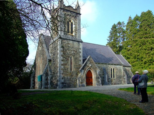 St. Edmund's Church of Ireland Churchchurch/chapel · 1.3 mi
 Togher CastleCastle, tower house · 2.2 mi
 Nowen HillMountain / peak · 2.2 mi
 Pookeen North TopMountain / peak · 2.3 mi
 Funmanway Adventure LandHeritage attraction · 4.1 mi
 Gortnahoughtee Mass RockNamed rock · 4.3 mi
 Castle (Site of)Castle, Anglo-Norman masonry castle · 4.4 mi
 Dunmanway Heritage CentreVisitor information · 4.5 mi
 Graveyard in Dunmanway NorthGraveyard · 4.7 mi