What is recorded here
Yes. An earthen ringfort stood at the east end of a Clare ridge, measured twenty-eight metres across before human greed erased it. Mapmakers traced its curve in 1840 and 1897, but a bungalow now occupies the western field while trackways cut through its remaining ghost. The fairies did not leave; they simply stopped being visible to the people who stopped seeing them.
Near the E end of an ESE-WNW running ridge, in hilly badly drained pasture with mature conifer plantations to the E and S. Hachured on the 1840 and 1916 eds. of the OS 6-inch maps as a subcircular enclosure (c. 28m E-W; c. 23m N-S). On the OS 25-inch plan (1897) an external fosse is shown from SW to WNW and a trackway, leading to a farmhouse c. 70m to the W, ran just outside from E to SSW. Listed in the RMP (1996) as Enclosure.
On field inspection in May 1999, no surface trace was visible. A bungalow had been built in the field immediately to the W. The nature of the ground suggested that it was probably a rath. Most of its outline is visible on aerial imagery dated 2005 (see OSi Ortho 2005). At that stage another trackway cut through its E limits and continued inside its N limits and continued westwards behind the bungalow. It is not visible on more recent imagery (OSi digitaglobe 2011-2013).
Compiled by: Olive Alcock and Lynda McCormack
Date of upload: 29 June 2022
A fairy fort / earthen ringfort in Drumeevin is a subcircular early-medieval ringfort, likely dating to between the 5th and 10th centuries, used as a defensive or agricultural settlement. It is traditionally associated with fairy folklore, as its name suggests, reflecting local beliefs in otherworldly inhabitants.
The monument record does not grant public access. Check the route and ask the landowner before entering private land.
- What survives
- Recorded monument
Places near here
 Toormore FortFairy fort / earthen ringfort · 888 yd
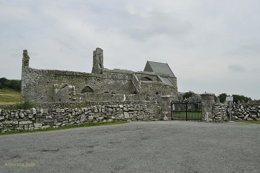 Knockaunacurra FortFairy fort / ringfort · 1107 yd
 Inchovea Castle (in ruins)Castle, unclassified · 1249 yd
 Saint Attracta's Catholic Churchchurch/chapel · 1696 yd
 Kiltoraght Church (in ruins)Church · 1.2 mi
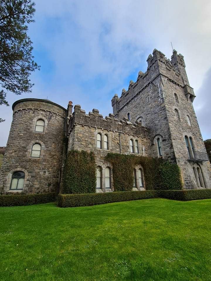 Tullagh Castle (in ruins)Castle, unclassified · 2.0 mi
 Fergus River CaveCave · 2.7 mi
 European ashEuropean ash · 3.0 mi
 Inchiquin IslandIslet · 3.2 mi
 Rock IslandIsland · 3.3 mi
 Burren Centre KilfenoraVisitor information · 3.7 mi
 High CrossHeritage attraction · 3.7 mi