What is recorded here
No fort remains in Dromerk, only a hidden field and the memory of a circular enclosure. That absence is the shape of the place: a fort erased until it becomes a rumour.
In pasture, E of Clashnagallagh Wood. Hachured as circular enclosure on OS 6-inch map (1842). No visible surface trace; surrounding field fences removed.
The above description is derived from the published 'Archaeological Inventory of County Cork. Volume 1: West Cork' (Dublin: Stationery Office, 1992). In certain instances the entries have been revised and updated in the light of recent research.
Date of upload/revision: 14 January 2009
The monument record does not grant public access. Check the route and ask the landowner before entering private land.
- What survives
- Recorded monument
Places near here
 Burial ground in DromerkBurial ground · 208 yd
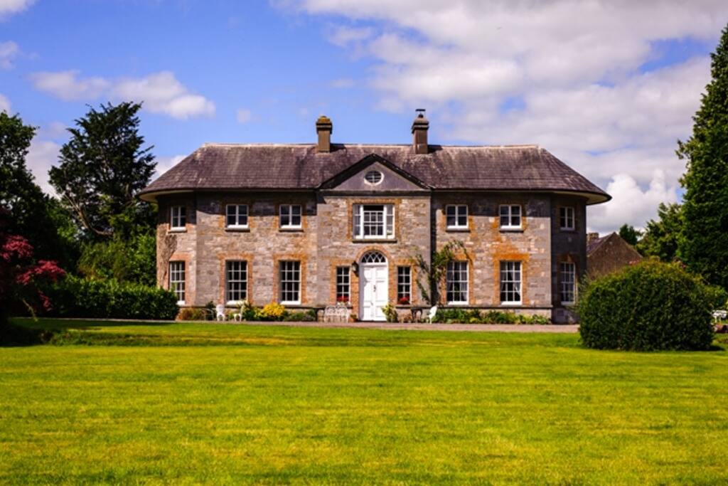 Country house in ArdcahanCountry house · 1279 yd
 Caha BrBridge · 1359 yd
 IndicatedEcclesiastical enclosure · 1.3 mi
 Funmanway Adventure LandHeritage attraction · 1.6 mi
 Mount GunneryMountain / peak · 1.6 mi
 Graveyard in Dunmanway NorthGraveyard · 2.0 mi
 OCrowleys Castle (in Ruins)Castle, tower house · 2.2 mi
 Dunmanway Heritage CentreVisitor information · 2.4 mi
 Castle (Site of)Castle, Anglo-Norman masonry castle · 2.7 mi
 Irish National Forestry FoundationNature reserve · 3.6 mi
 Castle RockNamed rock · 3.6 mi