What is recorded here
In rough pasture, on the N-facing slope of a ridge. A raised circular area (diam. 19m) defined by an earthen bank (Wth 3.5m; int. H 0.8m; ext. H 1.3m) NE-NW, with remnants of a stone kerb along the base of the internal face and by a scarp (H 1m) NW-NE. The line of an external fosse is evident as boggy ground with a band (Wth 3.3m) of rushes and irises. The bank S-WNW is incorporated into a field boundary with an external recut fosse. The perimeter is overgrown with hawthorn bushes.
The above description is derived from the published 'Archaeological Inventory of County Sligo' compiled by Ursula Egan, Elizabeth Byrne, Mary Sleeman with Sheila Ronan and Connie Murphy (Dublin Stationery Office, 2005).
Date of upload: 18 January 2008
The monument record does not grant public access. Check the route and ask the landowner before entering private land.
- What survives
- Recorded monument
Places near here
 LisnagaelFairy fort / earthen ringfort · 932 yd
 Rocks FortFairy fort / earthen ringfort · 1073 yd
 Bellarush Br.Bridge · 1448 yd
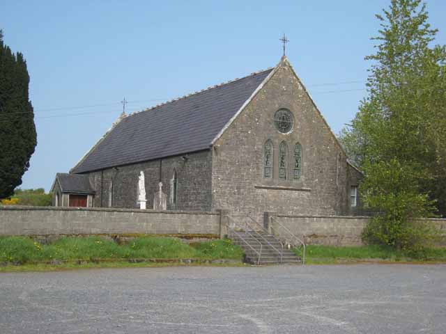 Saint Patrick's Catholic Churchchurch/chapel · 1.1 mi
 Castle BaldwinCastle · 1.8 mi
 Annaghgowla IslandIslet · 2.1 mi
 Ballindoon Castle (in Ruins)Castle, unclassified · 2.3 mi
 Riverstown Folk ParkHeritage attraction · 2.4 mi
 Barroe NorthMountain / peak · 2.5 mi
 InishmoreIslet · 2.5 mi
 Bricklieve MountainsMountain / peak · 3.4 mi
 Treanscrabbagh caveCave · 3.6 mi