What is recorded here
Fairy fort in Curry, County Mayo: a raised circular field, 40 metres north-south and 33 metres east-west, with a 0.7 metre earthen bank from southwest to southeast. A 1.8 metre gap opens to the northeast, a wider 3.9 metre opening may mark the southeast entrance, and a large depression lies in the northern interior. Part of the bank and southwest ground has been quarried, while vegetation hides much of the rest. It stands in low pasture south of the Meander River, ordinary enough for cattle and odd enough for fairy belief.
In undulating low-lying pasture, S of Meander River. Raised, roughly circular-shaped area (40m N-S; 33m E-W), enclosed by earthen bank (H 0.7m) SW to SE. Gap (Wth 1.8m) on NE. Bank; SE to SW, and large portion in SW of interior has been quarried. Bank largely overgrown. Possible entrance (Wth 3.9m) on SE. Large depression in N of interior.
The above description has been derived from D. Lavelle (compiler), An Archaeological Survey of Ballinrobe and District including Lough Mask and Lough Carra. Lough Mask and Lough Carra Tourist Development Association (1994), No. 152.
Date of upload: 24 January 2013
The monument record does not grant public access. Check the route and ask the landowner before entering private land.
- What survives
- Recorded monument
Places near here
 Site of Rosslee ChurchChurch · 1429 yd
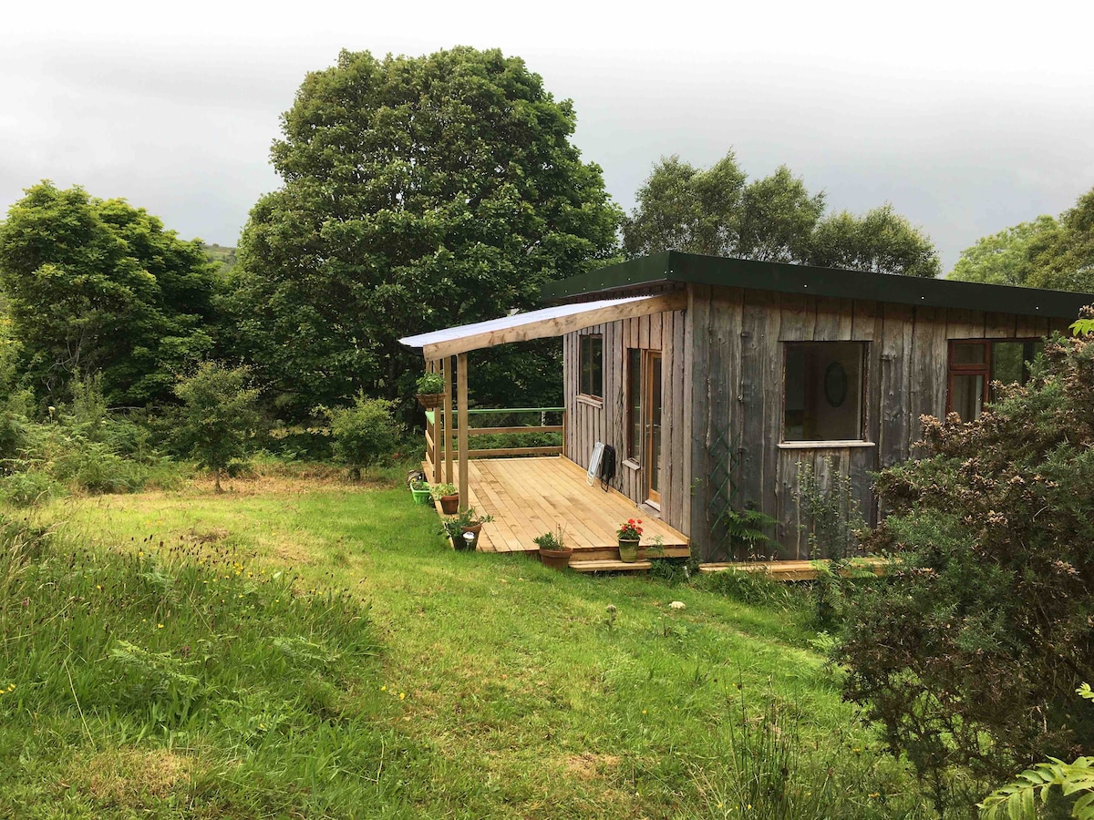 Enclosure in FahybegEnclosure · 1451 yd
 Abbey in ruinsReligious house, unclassified · 1.0 mi
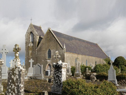 Saint Coleman's Catholic Churchchurch/chapel · 1.0 mi
 Castle LucasCastle · 2.3 mi
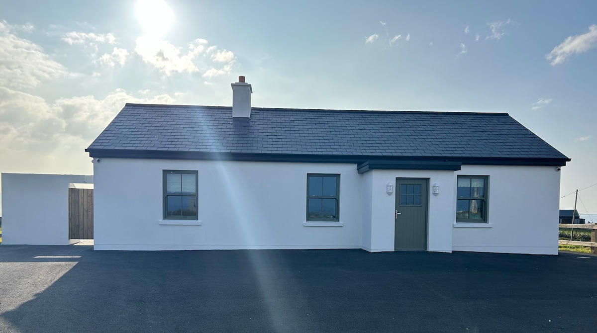 Bawn in KnockaunakillBawn · 2.8 mi
 Cerberus, from Thomastown HouseMemorial · 4.1 mi
 Moore Hall Forest TrailWalking route · 4.6 mi
 Creevagh IslandIslet · 4.8 mi
 Moore Hall ForestForest · 4.8 mi
 Connors IslandIslet · 4.8 mi
 Kiltoom PointHeadland · 5.0 mi