What is recorded here
Located at the N edge of a fairly level landscape and at the crest of a steep slope down into a short SW-NE valley (Wth of top c. 100m NW-SE; D c. 5m) that opens out to the NE. A general magnetic gradiometer survey (09R0075) by J. M. Leigh with detailed targeting at selected points was conducted in a large development area (c. 22 ha), which resulted in the identification of two enclosures defined by fosses. This enclosure presented as an oval area (dims c. 45m N-S; c. 35m E-W) defined by a single fosse with a possible entrance at SE. There are what might be two quarries in the E part of the interior.
Much of the proposed development area was archaeologically tested (10E0033) by M. Saunderson (2010) over two weeks during February 2010 which produced little evidence of archaeological features outside the two recognised enclosures. Trenching at this enclosure confirmed the findings of the gradiometer survey. The enclosing fosse was exposed at six points but only sampled (Wth of top 0.7m; D 0.2m) at one, and the fosse appeared to be narrower at the other points. The enclosure, which is probably a rath, is preserved in green area within the new housing development (Saunderson 2010, 20-23 (fig. 15).
This enclosure was excavated (18E0105) by J. Purcell in March 2018 (excavations.ie 2018:819) when a wide area was stripped. The enclosure (diam. 30m) was defined by a slight fosse (Wth up to 1m; D 0.2-0.3m) which could only be traced NW-E-SE, and it had a gap at NE. The fill of the ditch was silt with redeposited subsoil and small stones. A small stretch of black soil was in the base of the fosse but no artefacts or dating material was recovered from it. The enclosure is within a green area of Clauin Adain housing estate. (Purcell 2018)
See the attached image from Leigh (2010, fig. 9)
Compiled by: Michael Moore
Date of upload: 4 April, 2023
Leigh, J. M. 2010 Geophysical Survey Report, Clonmagaddan, County Meth. Licence: 09R0075. Unpublished report, J. M. Leigh surveys
Purcell, J. 2018 Preliminary Report on Archaeological Excavation at Clonmagaddan, Navan, Co. Meath. Licence: 18E0105. Unpublished report, John Purcell Archaeological Consultancy
Saunderson, M. 2010 Report on Archaeological Impact Assessment of Proposed Mixed-use Development at Conmagaddan, Co. Meath. Licence: 10E0033, Unpublished report, Arch-Tech
The monument record does not grant public access. Check the route and ask the landowner before entering private land.
- What survives
- Recorded monument
Places near here
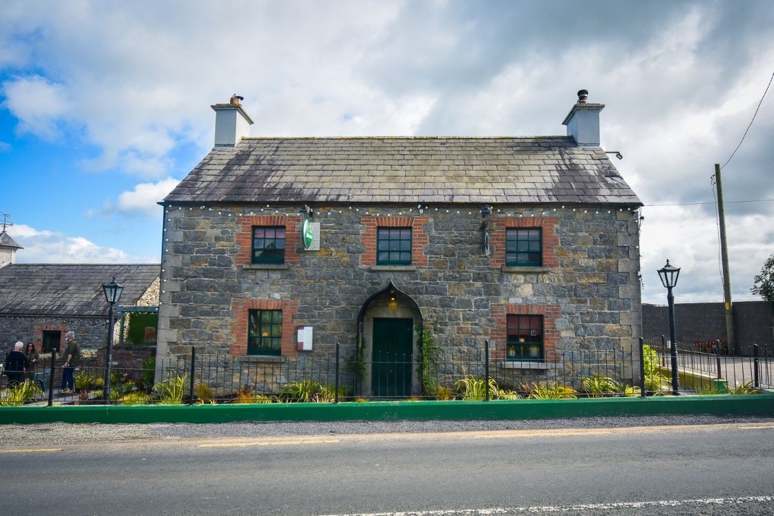 IndicatedFairy fort / earthen ringfort · 371 yd
 Nangle CourtMemorial · 734 yd
 Enclosure in Batterstown (navan Lower By.)Enclosure · 797 yd
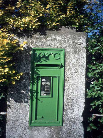 post boxpost box · 1471 yd
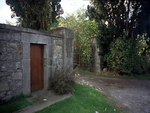 Blackcastle Housegates/railings/walls · 1530 yd
 Donaghmore Round TowerHeritage attraction · 1.1 mi
 Blackcastle DemesneWood · 1.2 mi
 The RampartWood · 1.2 mi
 Rathaldron Ho.Castle, tower house · 1.3 mi
 CastleCastle, motte · 1.6 mi
 Carn HillMountain / peak · 3.0 mi
 BohermeenMountain / peak · 3.8 mi