What is recorded here
Cave holds a broken circular rath twenty-five and a half metres wide on an east-facing slope. A field wall now covers its southern and western edge, while grass and time have erased the rest. The fort has lost most of its shape, but the surviving bank and scarp still mark the boundary of a place people once enclosed.
On an E-facing slope in grassland. Poorly preserved circular rath (D 25.5m) defined by a bank at N and elsewhere by a scarp, no visible surface trace of which survives at SSE. A field wall overlies the enclosing element at S and W.
The above description is derived from the published 'Archaeological Inventory of County Galway Vol. II - North Galway'. Compiled by Olive Alcock, Kathy de hÓra and Paul Gosling (Dublin: Stationery Office, 1999).
Date of upload: 05 August 2010
The monument record does not grant public access. Check the route and ask the landowner before entering private land.
- What survives
- Recorded monument
Places near here
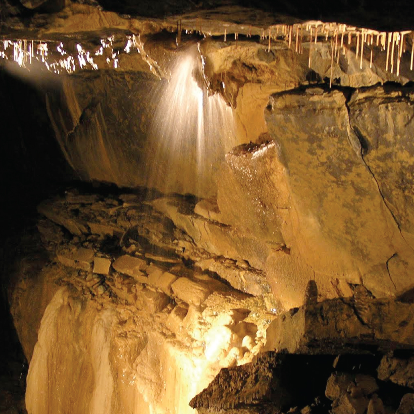 CaveMan-made underground passage · 578 yd
 Andrew's FortArchaeological place · 582 yd
 R.C. ChapelChapel · 1.2 mi
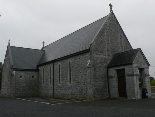 Catholic Church of Mary Immaculate and Saint Josephchurch/chapel · 1.2 mi
 Castle Hacket (in ruins)Castle, hall-house · 1.4 mi
 KnockmaaWood · 1.6 mi
 Bawn in ArdrumkillaBawn · 1.7 mi
 Kilcoona Round TowerHeritage attraction · 3.1 mi
 Mass RockNamed rock · 4.0 mi
 Pesooge PlantationForest · 4.5 mi
 Walsh's IslandIslet · 6.5 mi
 Oileán an AoilIsland · 7.5 mi